Teharka
| Teharka टेहरका | |
|---|---|
| Village | |
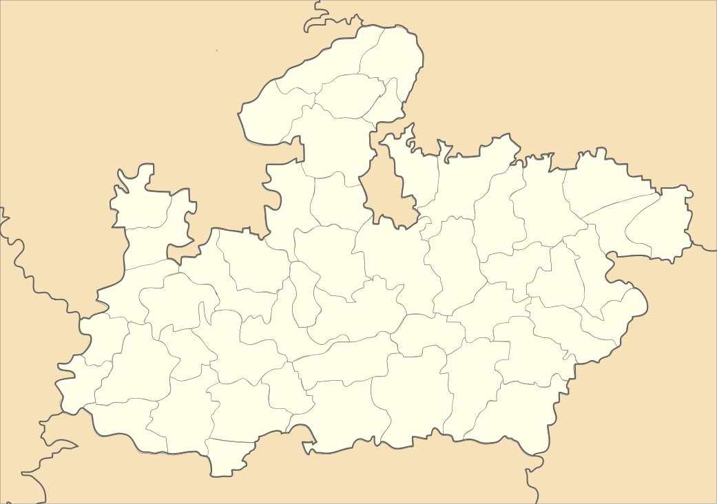 Teharka Location in Madhya Pradesh, India | |
| Coordinates: 25°4′25″N 78°52′11″E / 25.07361°N 78.86972°E | |
| Country |
|
| State | Madhya Pradesh |
| District | Tikamgarh |
| Tehsil | Niwari, Madhya Pradesh |
| Government | |
| • Type | Gram Panchayat |
| • Body | Sarpanch & Panch |
| Population (2011) | |
| • Total | 6,925 |
| Languages | |
| • Official | Hindi, Bundeli |
| Time zone | IST (UTC+5:30) |
| Vehicle registration | MP36 |
Teharka(Hindi: टेहरका) is a village and a gram panchayat (village government) in Niwari Tehsil in the Tikamgarh district of the Indian state of Madhya Pradesh. Teharka belongs to the Sagar Division . It is located 78 km north of the district headquarters, Tikamgarh, and 320 km from the state capital, Bhopal. Teharka has borders with Prithvipur Tehsil in the south, Mauranipur Tehsil in the east, and Chirgaon Tehsil in the north.[1][2]
Teharka has a railway station in the NCR (North Central Railway) zone; its station code is TKA. It is within 40 km of railway stations at Jhansi and between of Magarpur and Ranipur .[3] The nearest airport is at Khajuraho. The village is near by the national highway NH 76 (Jhansi-Khajuraho). Businesses in the village include Madhyanchal Gramin Bank and Zila Sahkari Bank, BSNL Teharka, Police station and Indian Post.
Demographics
As of 2011 the census of India, Teharka had a population of 6925. There were 3584 males and 3341 females. There were 964 children under the age of 6. The literacy rate is 60%.[1]
Schools
- Government Boys Higher Secondary School(10+2)
- Government Girls Higher Secondary School(10+2)
References
 |
Jhansi district, Uttar Pradesh | | ||
| |
Tikamgarh district | |||
| ||||
| | ||||
| Lalitpur district, Uttar Pradesh | Chhatarpur district |