Tell Ain Saouda
 Shown within Lebanon | |
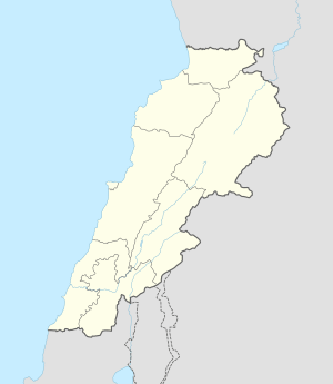
| Location | 2 km (1.2 mi) south of Tell Neba'a Litani, Lebanon |
|---|---|
| Region | Bekaa |
| Coordinates | 33°59′54″N 36°06′03″E / 33.998333°N 36.100833°E |
| Part of | Village |
| History | |
| Periods | PPNB, Neolithic, Bronze Age Roman |
| Site notes | |
| Condition | Unknown |
| Public access | Unknown |
Tell Ain Saouda is a small neolithic, archaeological tell, approximately 2 kilometres (1.2 mi) south of Tell Neba'a Litani, Lebanon.[1][2]
It is a grey soiled site next to two springs and the Litani River. Materials recovered include flints such as tanged arrowheads, sickle blades, scrapers, and an axe. Pottery included flat bottomed jars, globe shaped jars and bowls. These were burnished, painted and red washed with some incised decorations. These finds were similar to those from Tell Ain Nfaikh and other Beqaa Valley sites with a later neolithic dating and settlements extending into the Bronze Age and classical periods.[2]
Footnotes
- ↑ Francis Hours (1994). Atlas des sites du proche orient (14000-5700 BP). Maison de l'Orient méditerranéen. ISBN 978-2-903264-53-6. Retrieved 24 March 2011.
- 1 2 Moore, A.M.T. (1978). The Neolithic of the Levant. Oxford University, Unpublished Ph.D. Thesis. pp. 435–436.
This article is issued from Wikipedia - version of the 10/23/2016. The text is available under the Creative Commons Attribution/Share Alike but additional terms may apply for the media files.