Tell Zeidan
| Tell Zeidan | |
|---|---|
| Archaeological excavation site of a prehistoric settlement | |
 Tell Zeidan | |
| Coordinates: 35°57′0.41″N 39°5′39.29″E / 35.9501139°N 39.0942472°E | |
| Country |
|
| Time zone | EET (UTC+2) |
| • Summer (DST) | +3 (UTC) |
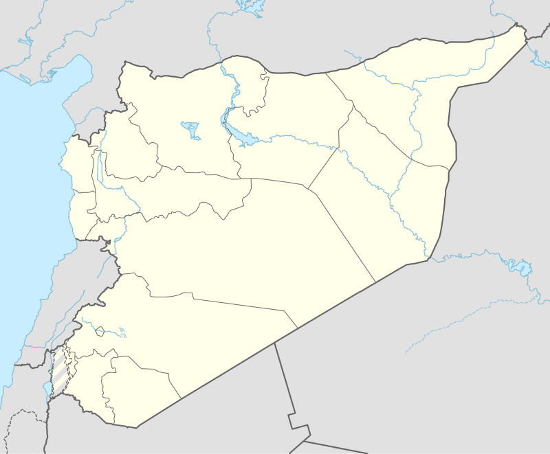
Coordinates: 35°57′0.41″N 39°05′39.29″E / 35.9501139°N 39.0942472°E Tell Zeidan is an archaeological site of the Ubaid culture in northern Syria, from about 5500 to 4000 BC. The dig consists of three large mounds on the east bank of the Balikh River, slightly north of its confluence with the Euphrates River, and is located about 5 km (3.1 mi) east of the modern Syrian city of ar-Raqqah (or Raqqa). This site is included within the historical region known as Mesopotamia and the Tigris-Euphrates river system, often called the Cradle of Civilization.
Archaeology
An international archaeological project, the Joint Syrian-American Archaeological Research Project at Tell Zeidan, is surveying and excavating the Tell Zeidan site. The project started in 2008, two seasons are completed, and the third season is scheduled to start in July 2010.[1][2] Muhammad Sarhan, director of the Raqqa Museum, and Gil Stein, director of the Oriental Institute of the University of Chicago, are co-directors of the project.[3]
Notes
- ↑ Stein, Gil J. (2009). "Tell Zeidan" (PDF). 2008-2009 Annual Report of The Oriental Institute. University of Chicago. pp. 126–137. Retrieved 2010-04-05.
- ↑ Stein, Gil J. (2010). "Tell Zeidan" (PDF). 2009-2010 Annual Report of The Oriental Institute. University of Chicago. pp. 105–118. Retrieved 2012-10-15.
- ↑ "In Syria, a Prologue for Cities". New York Times. April 5, 2010. Retrieved 2010-04-06.
External links
- The dig page at the Oriental Institute of the University of Chicago
- The approximate location at Wikimapia
- "Archaeologists Uncover Land Before Wheel; Site Untouched for 6,000 Years". National Science Foundation. April 6, 2010. Retrieved 2010-04-06. Press Release 10-054
- Video from the dig, produced by the National Science foundation, narrated by Gil Stein of the Oriental Institute
- The Land Before the Wheel - Gil Stein discusses the mound of Tell Zeidan Alternative respository at YouTube of the same NSF video. Better video and streaming quality.