Tell el-Hesi
| תל חסי | |
 Tell el-Hesi | |
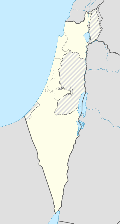 Shown within Israel | |
| Location | Southern District, Israel |
|---|---|
| Region | Levant |
| Coordinates | 31°32′52″N 34°43′49″E / 31.54778°N 34.73028°ECoordinates: 31°32′52″N 34°43′49″E / 31.54778°N 34.73028°E |
| Type | Settlement |
| Site notes | |
| Condition | In ruins |
Tell el-Hesi (Hebrew: תל חסי) is a 25-acre archaeological site in Israel. It was the first major site excavated in Palestine, first by Flinders Petrie in 1890 and later by Frederick Jones Bliss in 1891 and 1892, both sponsored by the Palestine Exploration Fund (PEF). Petrie's excavations were one of the first to systematically use stratigraphy and seriation to produce a chronology of the site.[1] Tell el-Hesi is located southwest of the modern Israeli city of Qiryat Gat.
History
The site was occupied from the Pre-Pottery Neolithic period to the Hellenistic period, though not continuously.[1] The city reached a size of 25 acres in the Early Bronze Age during the middle of the 3rd Millennium BCE. It then fell into disuse until the middle of the 2nd millennium during the Late Bronze Age when it was rebuilt, staying in use for around a thousand years. A military trench system was dug into the top of the mound during the 1948 Arab–Israeli War. Petrie identified Tell el-Hesi as the Biblical site of Lachish, and Bliss accepted this identification, but it is no longer accepted. In 1924 W. F. Albright proposed that Tell el-Hesi was Biblical Eglon,[2] an identification still accepted by Yohanan Aharoni in the 1970s.[3] This identification, too, is unlikely and the site should be considered unidentified.[4]
Archaeology
The site was first described in 1839 by Edward Robinson. It is 200 feet above the land in the East and 60 feet high in the other directions. The mound was roughly square with 200 feet on a side in Robinson's time but has been reduced by excavations and military action.
It was originally excavated between 1890 and 1892 by the PEF during five excavation seasons. After brief training under Petrie at Meydum in Egypt, Bliss began two years work at Tell el-Hesi. Using Petrie's ceramic sequence and the pioneering concept of a sequence of 'cities', Bliss was able to establish not only the archaeology of this specific site, but the sequential framework for Levantine archaeology. The final reports were published in 1891 and 1894. Among other discoveries was the remains of what was identified as an iron blast furnace, with slag and ashes, which was dated to 1500 BC. If the theories of experts are correct, the use of the hot-air blast instead of cold air was known at an extremely early age. Aside from some inscribed pottery of various periods, the significant epigraphic find was a single cuneiform tablet. This tablet is closely related to the Amarna Letters and mentions a person noted as the governor of Lachish in those letters.
A second series of excavations began in 1970, at the behest of the American Schools of Oriental Research and its President G. Ernest Wright, the Joint Archaeological Expedition to Tell el-Hesi. The original core staff of directors for the project included John Worrell - Director; Lawrence Toombs - Senior Archeologist, Phillip King - Administrative Director, Tom Frank - Education Director, and W. J. Bennett, Jr. and Lawrence Stager as Field Directors. The team excavated at the site from 1970 to 1983 for eight summer seasons. The project emphasized excavation in two parts of the site: the acropolis and its associated wall system (Fields I and III), and the Early Bronze III (EB III) wall system of the lower city (Fields V, VI, and IX).
Notes
- 1 2 Avraham Negev; Shimon Gibson (July 2005). Archaeological encyclopedia of the Holy Land. Continuum International Publishing Group. pp. 228–. ISBN 978-0-8264-8571-7. Retrieved 22 November 2010.
- ↑ Albright, William F. (1924). "Researches of the School in Western Judaea". BASOR. 15: 7–8.
- ↑ Yohanan Aharoni (1 January 1979). The land of the Bible: a historical geography. Westminster John Knox Press. p. 219. ISBN 978-0-664-24266-4. Retrieved 22 November 2010.
- ↑ Blakely, Jeffrey A.; Fred L. Horton (2001). "On Site Identifications Old and New: The Example of Tell el-Hesi". NEA. 64 (1-2): 24–36.
See also
References
- Sir William Matthew Flinders Petrie (1891). Tell el Hesy (Lachish). Pub. for the Committee of the Palestine exploration fund by A. P. Watt. Retrieved 22 November 2010.
- Frederick Jones Bliss; Palestine Exploration Fund (1894). A mound of many cities, or, Tell el Hesy excavated. Pub lished for the Committee of the Palestine Exploration Fund by A.P. Watt. Retrieved 22 November 2010.
- Lawrence E. Toombs; Kevin G. O'Connell (1985). Tell el Hesi: modern military trenching and Muslim cemetery in field I, strata I-II. Wilfrid Laurier Univ. Press. ISBN 978-0-88920-134-7. Retrieved 22 November 2010.
- Jeffrey A. Blakely; Lawrence E. Toombs (1985). The Joint Archaeological Expedition to Tell el-Hesi. Eisenbrauns. ISBN 978-0-931464-54-6. Retrieved 22 November 2010.
- Bynum Shaw; George Washington Paschal; Wake Forest University (1988). Tell El-Hesi: The Site and the Expedition. Wake Forest University. ISBN 978-0-918401-01-4. Retrieved 22 November 2010.
- Bruce T. Dahlberg; Kevin G. O'Connell (29 November 1989). Tell El-Hesi: The Site and the Expedition. Eisenbrauns. ISBN 978-0-931464-57-7. Retrieved 22 November 2010.
- J. Kenneth Eakins; John R. Spencer; Kevin G. O'Connell (June 1993). Tell El-Hesi: The Muslim Cemetery in Fields V and Vi/IX. Eisenbrauns. ISBN 978-0-931464-78-2. Retrieved 22 November 2010.
- Guérin, Victor (1869). Description Géographique Historique et Archéologique de la Palestine. 1: Judee, pt. 2. (p. 296 )
External links
- Tell el-Hesi Regional Field Site
- Tell el-Ḥesi - Archaeowiki.org
| Wikimedia Commons has media related to Tell El-Hesi. |