Tendring, Essex
| Tendring | |
 |
|
 Tendring |
|
| Population | 736 (2011)[1] |
|---|---|
| OS grid reference | TM144241 |
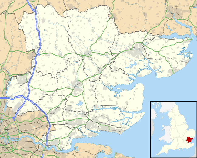
| District | Tendring |
| Shire county | Essex |
| Region | East |
| Country | England |
| Sovereign state | United Kingdom |
| Post town | CLACTON-ON-SEA |
| Postcode district | CO16 |
| EU Parliament | East of England |
| UK Parliament | North Essex |
Coordinates: 51°52′27″N 1°06′45″E / 51.874080°N 1.112512°E
Tendring is the eponymous village and civil parish of the Tendring district of Essex — and before that of the Tendring Hundred.[2] It gave its name to the larger groupings because it was at the centre, not because it was significantly larger than any of the other settlements. The linear village straddles the B1035 connecting Manningtree with Thorpe-le-Soken.[3]
The parish includes the settlements of Goose Green, Tendring Green and Tendring Heath. The church is dedicated to St Edmund. The Tendring Union Workhouse was located at Tendring Heath.[4]
Transport
The village is on the B 1035 road and close to the A120 road. There are bus services to Clacton-on-sea and Colchester.
References
- ↑ "Civil Parish population 2011". Retrieved 24 September 2015.
- ↑ "Kelly's Directory entry for Tendring". Historical Directories. 1882. Retrieved 17 November 2011.
- ↑ "TENDRING DISTRICT COUNCIL CONSERVATION AREA REVIEW" (PDF). Tendring District Council. 2006. Archived from the original (PDF) on 29 September 2011. Retrieved 17 November 2011.
- ↑ Peter Higginbotham. "The Workhouse in Tendring, Essex". The Workhouse. Retrieved 17 November 2011.
| Wikimedia Commons has media related to Tendring, Essex. |
This article is issued from Wikipedia - version of the 9/24/2015. The text is available under the Creative Commons Attribution/Share Alike but additional terms may apply for the media files.