Tetla
| Tetla | |
|---|---|
| town | |
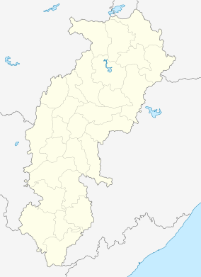 Tetla  Tetla Location in Chhattisgarh, India | |
| Coordinates: 21°48′0″N 83°20′0″E / 21.80000°N 83.33333°ECoordinates: 21°48′0″N 83°20′0″E / 21.80000°N 83.33333°E | |
| Country |
|
| State | Chhattisgarh |
| District | Raigarh |
| Elevation | 224 m (735 ft) |
| Languages | |
| • Official | Hindi, Chhattisgarhi |
| Time zone | IST (UTC+5:30) |
| PIN | 496100 |
| Vehicle registration | CG |
Tetla is a town in Raigarh district, Chhattisgarh, India.
Geography
It is located at an altitude of 224 m above MSL.[1]
Location
National Highway 200 passes through Tetla. It is about 12 km south of Raigarh. The nearest airport is Raipur Airport, and the nearest railway station is at Raigarh.
References
- ↑ http://www.fallingrain.com/world/IN/37/Tetla.html Map and weather of Tetla
External links
This article is issued from Wikipedia - version of the 9/20/2016. The text is available under the Creative Commons Attribution/Share Alike but additional terms may apply for the media files.