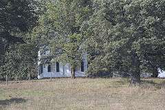
Tippesaukee Farm Rural Historic District
|
Tippesaukee Farm Rural Historic District (Boundary Increase) | |
 | |
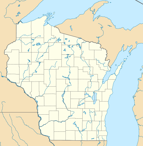  | |
| Location | Jct. of WI Trunk Hwy. 60 and Co. Trunk Hwy. X, Town of Richwood, Port Andrew, Wisconsin |
|---|---|
| Coordinates | 43°12′27″N 90°34′36″W / 43.20750°N 90.57667°WCoordinates: 43°12′27″N 90°34′36″W / 43.20750°N 90.57667°W |
| Area |
9.2 acres (3.7 ha) (original) 193.5 acres (78.3 ha) (increase) |
| Built | 1838 and 1861 |
| Architectural style | Greek Revival |
| NRHP Reference # | 92000827 and 95001491[1] |
| Added to NRHP |
June 25, 1992 (original) January 4, 1996 (increase) |
The John Coumbe Farmstead, also known as Tippesaukee Farm, was listed on the National Register of Historic Places originally in 1992. Its 9.2-acre (3.7 ha) area included five contributing buildings. The listing area was increased and the listing was renamed Tippesaukee Farm Rural Historic District in 1996. The increase was a 193.5-acre (78.3 ha) area including three contributing sites.[1]
References
- 1 2 National Park Service (2009-03-13). "National Register Information System". National Register of Historic Places. National Park Service.
| Topics | |
|---|---|
| Lists by states |
|
| Lists by insular areas | |
| Lists by associated states | |
| Other areas | |
| |
This article is issued from Wikipedia - version of the 11/29/2016. The text is available under the Creative Commons Attribution/Share Alike but additional terms may apply for the media files.