Tokarnia (mountain)
| Tokarnia | |
|---|---|
 Northern summit | |
| Highest point | |
| Elevation | 778 m (2,552 ft) |
| Coordinates | 49°27′46″N 22°04′17″E / 49.46278°N 22.07139°ECoordinates: 49°27′46″N 22°04′17″E / 49.46278°N 22.07139°E |
| Naming | |
| Translation | tokować, meaning birds breeding dances hill (lechitic dialect) |
| Geography | |
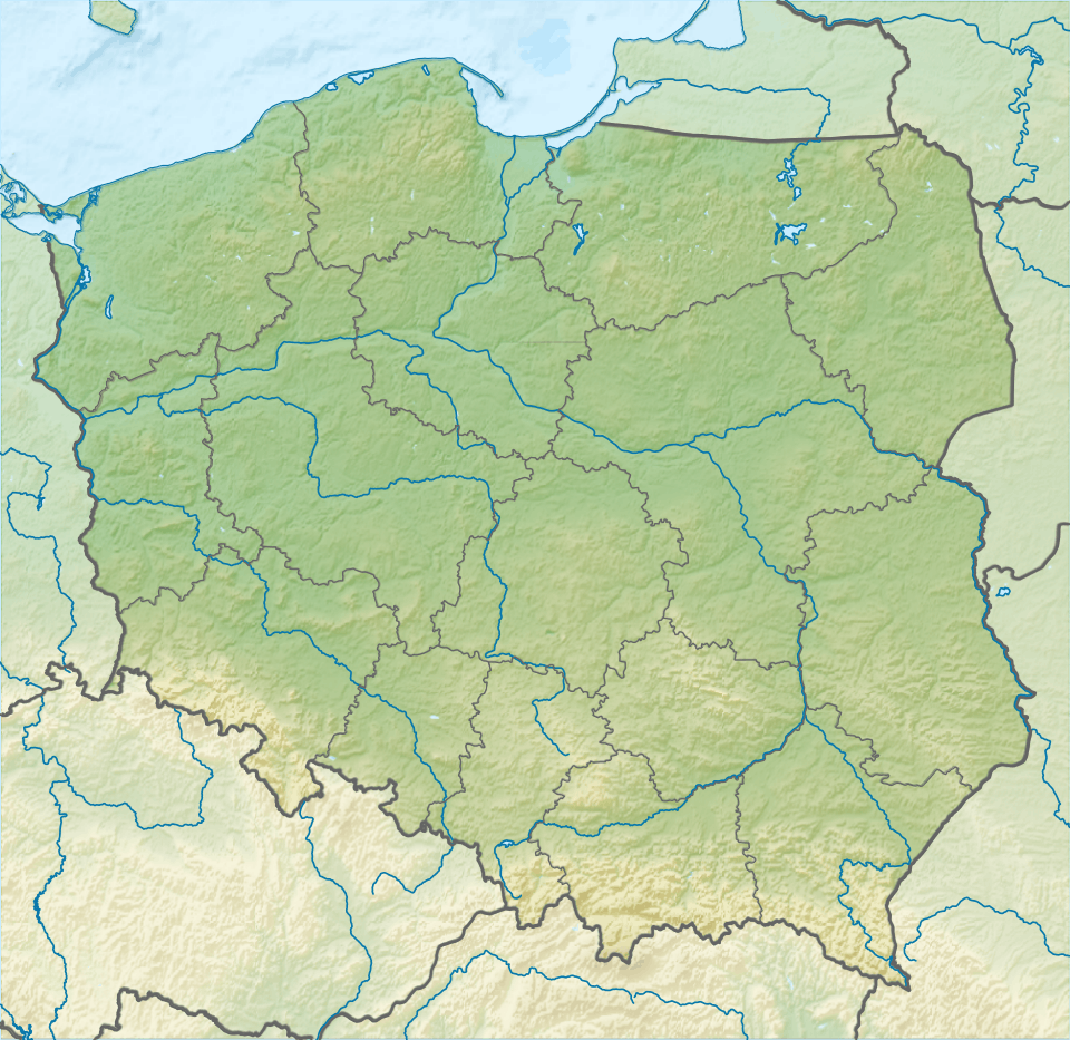 Tokarnia Location in Poland | |
| Location | Podkarpacie, Poland |
| Parent range | Bukowica Range |
| Climbing | |
| Easiest route | Hike |
Takarnia is a peak in the Bukowica Range (part of the Pogórze Bukowskie ) in southern Poland. Its height is 778 meters. The southern part is a steep rocky wall, while the other side consist of less steep rocky fields. The Bukowica Range separating the west Low Beskids from the east Pogórze Bukowskie.
Hiking trails
- European walking route E8
- Iwonicz-Zdrój – Rymanów-Zdrój - Puławy – Tokarnia (778 m) – Przybyszów – Kamień (717 m) – Komańcza (Główny Szlak Beskidzki)
- Pasmo Bukowicy - Kanasiówka (823 m) – Wisłok Wielki – Tokarnia (778 m), 1 km – Wola Piotrowa
- Komańcza – Dołżyca – Garb Średni (822 m) – Kanasiówka (823 m) – Moszczaniec – Surowica – Darów – Puławy Górne– Besko
See also
| Wikimedia Commons has media related to Pogórze Bukowskie. |
This article is issued from Wikipedia - version of the 12/21/2015. The text is available under the Creative Commons Attribution/Share Alike but additional terms may apply for the media files.