Tonga Island
This article is about an island in New Zealand. For the Polynesian country, see Tonga.
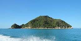 Tonga Island from water taxi | |
 Tonga Island | |
| Geography | |
|---|---|
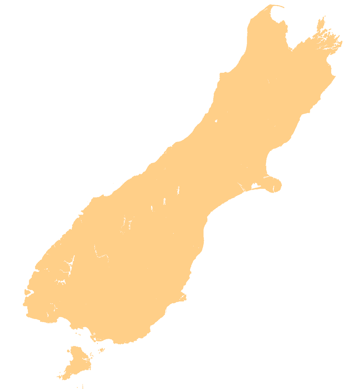
| Location | Tasman Bay, New Zealand |
| Coordinates | 40°53′25″S 173°04′02″E / 40.89028°S 173.06722°E |
| Total islands | 1 |
| Area | 0.15 km2 (0.058 sq mi) |
| Length | 0.5 km (0.31 mi) |
| Width | 0.5 km (0.31 mi) |
| Highest elevation | 83 m (272 ft) |
| Administration | |
Tonga Island is a small (0.15 km2) island in Tasman Bay, off the northern coast of the South Island of New Zealand.[1] It lies within the Abel Tasman National Park, about 1 kilometre (0.62 mi) off Onetahuti Beach.[2] The island has a flourishing fur seal colony,[3][4] and is surrounded by the Tonga Island Marine Reserve, which was inaugurated in 1993.
The island is accessible by water taxi or kayak and visible from the Abel Tasman Coast Track.[5]
See also
References
- ↑ "Tonga Island, Tasman - NZ Topo Map". NZ Topo Map. Land Information New Zealand. Retrieved 2015-12-22.
- ↑ Hoiberg, Dale H., ed. (2010). "Abel Tasman National Park". Encyclopedia Britannica. I: A-ak Bayes (15th ed.). Chicago, IL: Encyclopedia Britannica Inc. p. 25. ISBN 978-1-59339-837-8.
- ↑ "Tonga Island Marine Reserve". Department of Conservation NZ. Retrieved 2015-12-22.
- ↑ Nelson Marlborough Conservancy (2012). "Abel Tasman National Park" (PDF). New Zealand Department of Conservation. Retrieved 18 November 2013.
- ↑ "Tonga Island Marine Reserve" (PDF). Department of Conservation NZ. Retrieved 2015-12-22.
Coordinates: 40°53′S 173°04′E / 40.883°S 173.067°E
This article is issued from Wikipedia - version of the 11/18/2016. The text is available under the Creative Commons Attribution/Share Alike but additional terms may apply for the media files.