Toston Bridge
|
Toston Bridge | |
_-_Broadwater_County%2C_Montana.png) | |
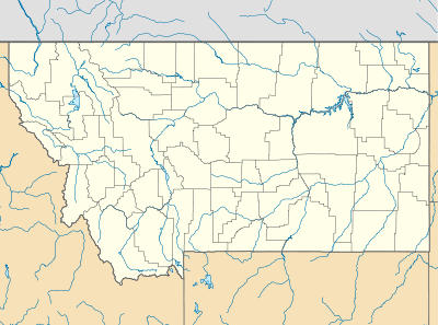  | |
| Location | Spanning the Missouri River, on an abandoned segment of old U.S. Route 287, at Toston, MT |
|---|---|
| Coordinates | 46°10′19″N 111°26′34″W / 46.17194°N 111.44278°WCoordinates: 46°10′19″N 111°26′34″W / 46.17194°N 111.44278°W |
| Architectural style | Bridge |
| NRHP Reference # | 05000720 |
| Added to NRHP | July 20, 2005 [1] |
The Toston Bridge is a site on the National Register of Historic Places spanning the Missouri River, on an abandoned segment of old U.S. Route 287, at Toston, Montana. It was added to the Register on July 20, 2005.
References
- ↑ National Park Service (2010-07-09). "National Register Information System". National Register of Historic Places. National Park Service.
| Topics | |
|---|---|
| Lists by states |
|
| Lists by insular areas | |
| Lists by associated states | |
| Other areas | |
| |
This article is issued from Wikipedia - version of the 11/29/2016. The text is available under the Creative Commons Attribution/Share Alike but additional terms may apply for the media files.