Tullaghan, Mullingar
| Tullaghan An Tulachán | |
|---|---|
| Townland | |
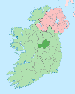
 Tullaghan Location of Tullaghan within County Westmeath in the Republic of Ireland | |
| Coordinates: 53°32′55″N 7°22′58″W / 53.54861°N 7.38278°WCoordinates: 53°32′55″N 7°22′58″W / 53.54861°N 7.38278°W | |
| Country |
|
| Province | Leinster |
| County | County Westmeath |
| Irish grid reference | N409555 |
Tullaghan (Irish: An Tulachán)[1] is a townland in County Westmeath, Ireland. It is located about 3.66 kilometres (2 mi) north–west of Mullingar.
Tullaghan is one of 64 townlands of the civil parish of Mullingar in the barony of Moyashel and Magheradernon in the Province of Leinster. The townland covers 633 acres (2.56 km2). The neighbouring townlands are: Farranistick to the north–east, Irishtown to the south–east, Walshestown South and Part of Walshestown North to the south, Walshestown North to the south–west and Ballard to the north–west.[2][3]
In the 1911 census of Ireland there were 2 houses[4] and 8 inhabitants[5] in the townland.
References
- ↑ Tullaghan Townland The Placenames Database of Ireland Retrieved on 16 September 2015.
- ↑ Tullaghan Townland, Co. Westmeath Townlands.ie Retrieved on 16 September 2015.
- ↑ Tullaghan Townland, Co. Westmeath The IreAtlas Townland Data Base Retrieved on 16 September 2015.
- ↑ Houses in Tullaghan. Census of Ireland 1911. Retrieved on 16 September 2015.
- ↑ Inhabitants in Tullaghan. Census of Ireland 1911. Retrieved on 16 September 2015.
External links
- Map of Tullaghan at openstreetmap.org
- Tullaghan at The IreAtlas Townland Data Base
- Tullaghan at Townlands.ie
- Tullaghan at the Placenames Database of Ireland
This article is issued from Wikipedia - version of the 9/16/2015. The text is available under the Creative Commons Attribution/Share Alike but additional terms may apply for the media files.