Umm Salal Ali
| Umm Salal Ali أم صلال علي | |
|---|---|
| Village | |
 Umm Salal Ali | |
| Coordinates: 25°28′11″N 51°23′51″E / 25.46972°N 51.39750°ECoordinates: 25°28′11″N 51°23′51″E / 25.46972°N 51.39750°E | |
| Country | Qatar |
| Municipality | Umm Salal |
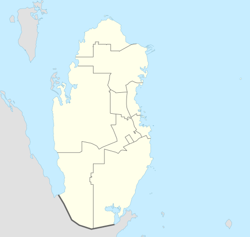
Umm Salal Ali (Arabic: أم صلال علي) is a village[1] in the municipality of Umm Salal in Qatar.[2][3]
Etymology
In Arabic, "Umm Salal" roughly translates to "mother of rocks". The name "Ali" added onto the end refers to Ali bin Jassim Al Thani, a son of Qatar's former ruler, Jassim bin Mohammed Al Thani, who previously owned a number of farms in the area.[4]
Projects
In 2015, the government included Umm Salal Ali in its $4.6 bn project to construct reservoirs in five sites across the country.[5]
Education
The following school is located in Umm Salal Ali:
| Name of School | Curriculum | Grade | Genders | Official Website | Ref |
|---|---|---|---|---|---|
| Umm Salal Ali Primary Boys School | Independent | Kindergarten – Primary | Male-only | N/A | [6] |
References
- ↑ Heck, Gerhard; Wöbcke, Manfred (2011). DuMont Reise-Handbuch Reiseführer Arabische Halbinsel (in German). DUMONT REISEVERLAG. p. 309. ISBN 978-3770177035.
- ↑ "2010 population census" (PDF). Qatar Statistics Authority. Retrieved 13 March 2015.
- ↑ "District map". The Centre for Geographic Information Systems of Qatar. Retrieved 16 May 2015.
- ↑ Heba Fahmy (4 April 2015). "What's in a name? The meanings of Qatar districts, explained". Doha News. Retrieved 17 December 2015.
- ↑ "رئيس الوزراء: يطلق مشروع الخزانات الاستراتيجية الكبرى لتأمين المياه". gov.qa. 13 May 2015. Retrieved 29 July 2015.
- ↑ "Umm Salal Ali Primary Boys School". Supreme Education Council. Retrieved 29 July 2015.
This article is issued from Wikipedia - version of the 12/17/2015. The text is available under the Creative Commons Attribution/Share Alike but additional terms may apply for the media files.