Unterer Hauenstein Pass
| Unterer Hauenstein Pass | |
|---|---|
|
Unterer Hauenstein Pass | |
| Elevation | 691 m (2,267 ft) |
| Location | Switzerland |
| Range | Jura Mountains |
| Coordinates | 47°22′52.88″N 7°52′8.14″E / 47.3813556°N 7.8689278°ECoordinates: 47°22′52.88″N 7°52′8.14″E / 47.3813556°N 7.8689278°E |
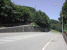
Unterer Hauenstein Pass (el. 691 m.) is a mountain pass in the Jura Mountains between the canton of Basel-Country and Solothurn in Switzerland.
It connects Buckten in Basel-Country and Trimbach in Solothurn. The pass road has a maximum grade of 6 percent.
The pass was probably already used by the Romans. In 1993, Roman artifacts were discovered at the pass. It also lies close to the Roman settlement of Augusta Raurica.
This article is issued from Wikipedia - version of the 5/8/2015. The text is available under the Creative Commons Attribution/Share Alike but additional terms may apply for the media files.