Upper Manair Dam
| Upper Manair Dam | |
|---|---|
 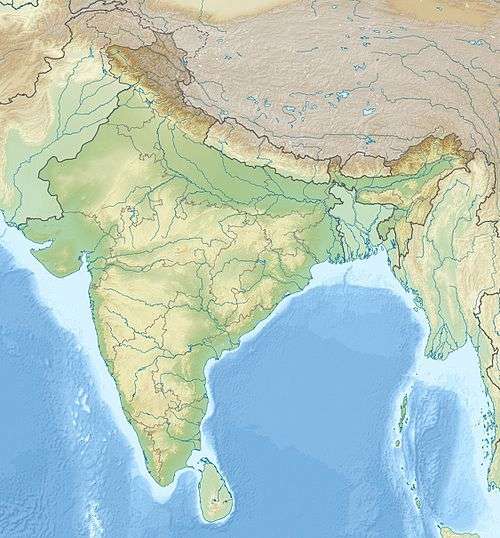 Location of Upper Manair Dam in India Telangana#India | |
| Official name |
ఎగువ మానేరు జలాశయం Upper Manair Dam |
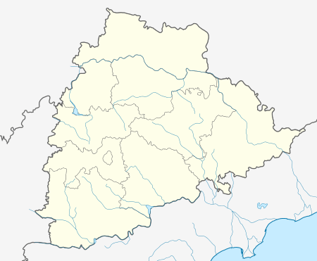
| Location | Rajanna Sircilla district, Telangana, India |
| Coordinates | 18°16′13″N 78°32′40″E / 18.27028°N 78.54444°ECoordinates: 18°16′13″N 78°32′40″E / 18.27028°N 78.54444°E |
| Construction began | 1943 (by Nizam) |
| Opening date | 1950 |
| Dam and spillways | |
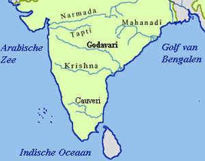
| Impounds | Manair River and Kudlair River |
| Height | 31 metres (102 ft) from river level |
| Length | 9,201 metres (30,187 ft) |
| Reservoir | |
| Creates | Upper Manair Reservoir |
| Total capacity | 62,387,000 m3 (50,578 acre·ft) |
| Active capacity | 61,439,000 m3 (49,809 acre·ft)[1] |
| Surface area | 15.3 km2 (5.9 sq mi) |
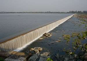
The Upper Manair Dam (Telugu:అప్పర్ మనేర్ డ్యామ్ ) is a dam on the Manair River, at Narmal Village, Gambhiraopet mandal, Rajanna Sircilla district, Telangana by Nizam.[2]
Mid Manair, another on going project is planning construct between Upper Manair and Lower Manair is at Manwada Village, Bionpally mandal, Rajanna Sircilla district.
See also
References
- ↑ "India: National Register of Large Dams 2012" (PDF). Central Water Commission. Retrieved 26 August 2014.
- ↑ "Upper Manair Dam D02364". Retrieved 26 August 2015.
This article is issued from Wikipedia - version of the 10/14/2016. The text is available under the Creative Commons Attribution/Share Alike but additional terms may apply for the media files.