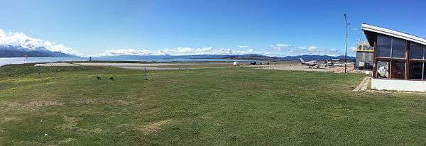
Ushuaia Aeroclub
| Ushuaia Aeroclub Aeroclub Ushuaia | |||||||||||
|---|---|---|---|---|---|---|---|---|---|---|---|
| IATA: none – ICAO: SAWO | |||||||||||
| Summary | |||||||||||
| Airport type | Public | ||||||||||
| Serves | Ushuaia | ||||||||||
| Location | Argentina | ||||||||||
| Elevation AMSL | 20 ft / 6 m | ||||||||||
| Coordinates | 54°49′22.2″S 068°18′15.5″W / 54.822833°S 68.304306°WCoordinates: 54°49′22.2″S 068°18′15.5″W / 54.822833°S 68.304306°W | ||||||||||
| Map | |||||||||||
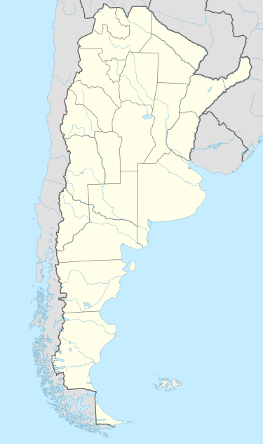 SAWO Location of Ushuaia Aeroclub in Argentina | |||||||||||
| Runways | |||||||||||
| |||||||||||
Ushuaia Aeroclub (Spanish: Aeroclub Ushuaia, ICAO: SAWO) is a public use airport located 2 kilometres (1 mi) south of Ushuaia, Tierra del Fuego Antártida e Islas del Atlántico Sur, Argentina.
Ushuaia Aeroclub
See also
References
- ↑ Airport record for Ushuaia Aeroclub at Landings.com. Retrieved 2 September 2013
- ↑ Google (2 September 2013). "location of Ushuaia Aeroclub" (Map). Google Maps. Google. Retrieved 2 September 2013.
External links
- Airport record for Ushuaia Aeroclub at Landings.com
This article is issued from Wikipedia - version of the 11/10/2016. The text is available under the Creative Commons Attribution/Share Alike but additional terms may apply for the media files.