Vallivattom
| Vallivattom | |
|---|---|
| village | |
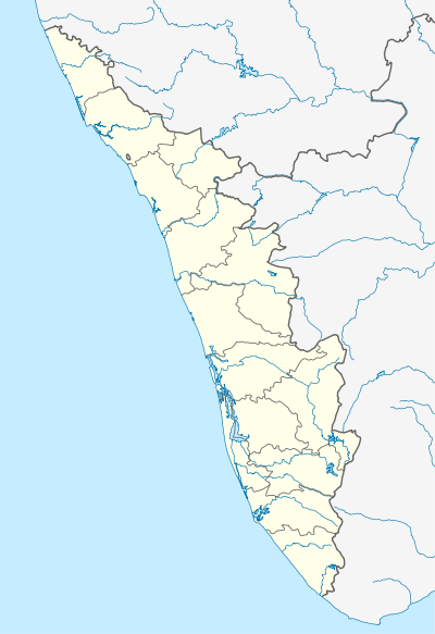 Vallivattom  Vallivattom Location in Kerala, India | |
| Coordinates: 10°17′0″N 76°11′0″E / 10.28333°N 76.18333°ECoordinates: 10°17′0″N 76°11′0″E / 10.28333°N 76.18333°E | |
| Country |
|
| State | Kerala |
| District | Thrissur |
| Languages | |
| • Official | Malayalam, English |
| Time zone | IST (UTC+5:30) |
| Vehicle registration | KL- |
Vallivattom is a remote village in the Vellangur Panchayat district of Kerala, the southern most state of India.[1] Its western boundary is defined by the Canoli Canal, and its eastern by the Trichur-Kodungallor road. The town is 13 km (8 mi) from Kodungallore and Irinjalakuda.
Vallivattom has five schools, and its literacy rate is 90%. It is religiously diverse, containing seven mosques, 15 Hindu temples, and 3 churches. Its primary industries are coir production, bus bodybuilding, diamond mining, and construction. The primary roads in and around the village are NH 17, the Trichur-Kodungallore Road, the Konathukunnu-Poovathumkadavu Road, the Paingode-Konathukunnu Road, and the Karupadanna-Chirattakkunnu Road.
References
- ↑ "Heavy rain lashes Thrissur district". The Hindu. 2005-08-02. Retrieved 2009-08-17.
This article is issued from Wikipedia - version of the 8/25/2016. The text is available under the Creative Commons Attribution/Share Alike but additional terms may apply for the media files.