Vandve
 Location in Nordland | |
| Geography | |
|---|---|
| Location | Nordland, Norway |
| Coordinates | 66°08′48″N 12°18′51″E / 66.1468°N 12.3143°ECoordinates: 66°08′48″N 12°18′51″E / 66.1468°N 12.3143°E |
| Area | 5.8 km2 (2.2 sq mi) |
| Length | 6 km (3.7 mi) |
| Width | 1.5 km (0.93 mi) |
| Highest elevation | 27 m (89 ft) |
| Highest point | Mershågjen |
| Administration | |
| County | Nordland |
| Municipality | Dønna |
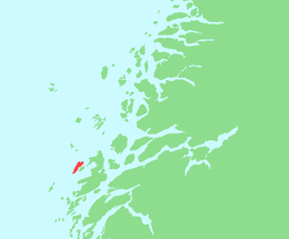
Vandve or Vandved is an island in the municipality of Dønna in Nordland county, Norway. The 5.8-square-kilometre (2.2 sq mi) flat island lies about 5 kilometres (3.1 mi) west of the island of Dønna and about 10 kilometres (6.2 mi) south of the Åsvær islands. In 2001, there were about 60 residents of the island, with boat connections to Dønna.[1] Vandve Church is located on the island.
See also
References
- ↑ Store norske leksikon. "Vandve" (in Norwegian). Retrieved 2012-01-17.
This article is issued from Wikipedia - version of the 11/11/2016. The text is available under the Creative Commons Attribution/Share Alike but additional terms may apply for the media files.