Vejalpur
| Vejalpur | |
|---|---|
| neighbourhood | |
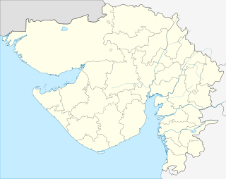 Vejalpur  Vejalpur Location in Gujarat, India | |
| Coordinates: 23°00′22″N 72°30′59″E / 23.006145°N 72.516488°ECoordinates: 23°00′22″N 72°30′59″E / 23.006145°N 72.516488°E | |
| Country |
|
| State | Gujarat |
| District | Ahmedabad |
| Elevation | 133 m (436 ft) |
| Population (2001) | |
| • Total | 113,304 |
| Languages | |
| • Official | Gujarati, Hindi |
| Time zone | IST (UTC+5:30) |
| Vehicle registration | GJ |
| Website |
gujaratindia |
Vejalpur is a neighborhood in the New West Zone of the metropolitan city of Ahmedabad in the Indian state of Gujarat.
Geography
Vejalpur (Gujarat) is geographically located at latitude (23.006145 degrees) 23°00'22.1" North of the Equator and longitude (72.516488 degrees) 72°30'59.4" East of the Prime Meridian on the Map of the world.
Demographics
As of 2001 India census,[1] Vejalpur had a population of 113,304. Males constitute 52% of the population and females 48%. Vejalpur has an average literacy rate of 80%, higher than the national average of 59.5%: male literacy is 84%, and female literacy is 77%. In Vejalpur, 11% of the population is under 6 years of age.
Vejalpur is declared as independent assembly constituency. Vejalpur, Jodhpur and Sarkhej are the three ward of vejalpur assembly.
References
- ↑ "Census of India 2001: Data from the 2001 Census, including cities, villages and towns (Provisional)". Census Commission of India. Archived from the original on 2004-06-16. Retrieved 2008-11-01.