Victoria Hill (Riverside County)
| Victoria Hill | |
|---|---|
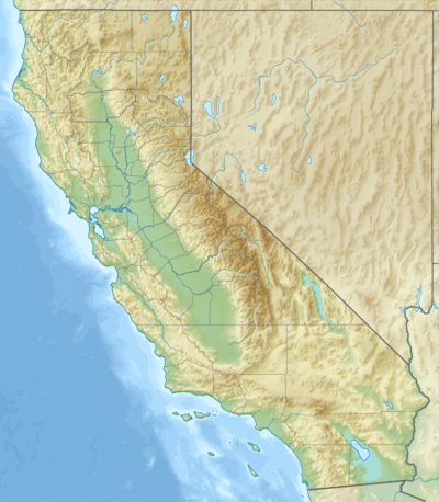 Victoria Hill Location in California | |
| Highest point | |
| Elevation | 1,005 ft (306 m) NGVD 29[1] |
| Coordinates | 33°57′34″N 117°22′13″W / 33.9594599°N 117.3703222°WCoordinates: 33°57′34″N 117°22′13″W / 33.9594599°N 117.3703222°W [2] |
| Geography | |
| Location | Riverside County, California, U.S. |
| Topo map | USGS Riverside East |
Victoria Hill is a hill in the city of Riverside, California[3] which is the seat of Riverside County, California.
It has an elevation of 1,005 feet (306 m) and is located half a mile (0.6 km) east of California State Route 91, at around postmile 19, which is south of intersection with California State Route 60.
References
- ↑ "Victoria Hill". ListsOfJohn.com. Retrieved 2014-03-08.
- ↑ "Victoria Hill". Geographic Names Information System. United States Geological Survey. Retrieved 2014-03-08.
- ↑ GeoNames
This article is issued from Wikipedia - version of the 1/13/2016. The text is available under the Creative Commons Attribution/Share Alike but additional terms may apply for the media files.