Villa Dolores Airport
| Villa Dolores Airport | |||||||||||||||
|---|---|---|---|---|---|---|---|---|---|---|---|---|---|---|---|
| IATA: VDR – ICAO: SAOD | |||||||||||||||
| Summary | |||||||||||||||
| Airport type | Military/Public | ||||||||||||||
| Serves | Villa Dolores | ||||||||||||||
| Elevation AMSL | 1,915 ft / 584 m | ||||||||||||||
| Coordinates | 31°56′43″S 65°08′47″W / 31.94528°S 65.14639°WCoordinates: 31°56′43″S 65°08′47″W / 31.94528°S 65.14639°W | ||||||||||||||
| Map | |||||||||||||||
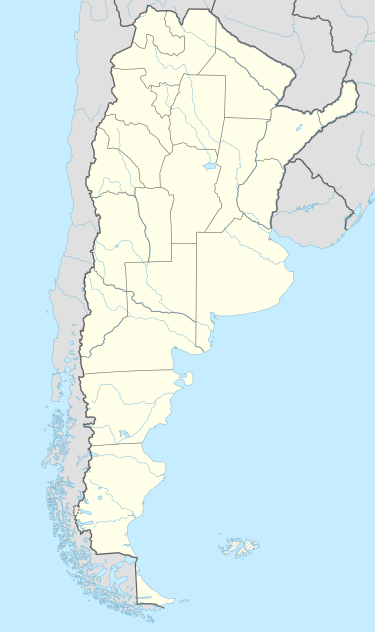 VDR Location of the airport in Argentina | |||||||||||||||
| Runways | |||||||||||||||
| |||||||||||||||
|
Sources: World Aero Data[1] | |||||||||||||||
Villa Dolores Airport (IATA: VDR, ICAO: SAOD) is an airport serving Villa Dolores, Córdoba, Argentina.
See also
 Argentina portal
 Aviation portal
- List of airports in Argentina
References
- ↑ Airport information for Villa Dolores Airport at World Aero Data. Data current as of October 2006.
External links
- Airport information for Villa Dolores Airport at Great Circle Mapper. Source: DAFIF (effective October 2006).
This article is issued from Wikipedia - version of the 12/4/2016. The text is available under the Creative Commons Attribution/Share Alike but additional terms may apply for the media files.