Virginia Mountains
| Virginia Mountains | |
|---|---|
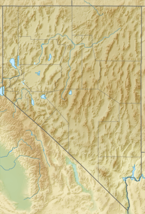 location of the Virginia Mountains in Nevada | |
| Highest point | |
| Peak | Tule Peak |
| Elevation |
2,659 m (8,724 ft) |
| Geography | |
| Country | United States |
| State | Nevada |
| District | Washoe County |
| Range coordinates | 39°59′N 119°45′W / 39.98°N 119.75°WCoordinates: 39°59′N 119°45′W / 39.98°N 119.75°W |
| Topo map |
USGS Tule Peak and Pyramid SW 7.5 minute quads |
The Virginia Mountains is an irregular mountain range entirely in Washoe County, Nevada, that generally extends north-northwest to south-southeast for 22 miles (35 km).[1][2]
The range is bordered by Astor Pass and Terraced Hills to the north, Pyramid Lake to the east, Mullen Pass and the Pah Rah Range to the south and Honey Lake Valley, Winnemucca Valley and Dogskin Mountain on the west. The eastern portion along Pyramid Lake is within the Pyramid Lake Indian Reservation.[1][2]

The highest summit is Tule Peak 8,724 feet (2,659 m)[3] and notable features include Needle Rock, the "Monkey Condos", the Painted Hills, and Mahogany Flat (7,800 ft (2,400 m)) near the center of the range.
The town of Sutcliffe lies on shore of Pyramid Lake adjacent to the range. Nevada State Route 445 runs along the east side of the range along the shore of Pyramid Lake and continues to southwest through Mullen Pass between the Virginia Mountains and the Pah Rah Range to the southeast.[1][2]