Virginia Peak (Nevada)
| Virginia Peak | |
|---|---|
 Virginia Peak
| |
| Highest point | |
| Elevation | 8,370 ft (2,551 m) NAVD 88[1] |
| Prominence | 3,642 ft (1,110 m) [1] |
| Coordinates | 39°45′20″N 119°27′41″W / 39.755664°N 119.461258°WCoordinates: 39°45′20″N 119°27′41″W / 39.755664°N 119.461258°W |
| Geography | |
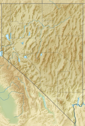
| Location | Washoe County, Nevada, U.S. |
| Parent range | Pah Rah Range |
| Topo map | USGS PAH RAH MTN |
Virginia Peak is the highest mountain in the Pah Rah Range of Washoe County in Nevada, United States. It is the most topographically prominent peak in Washoe County and ranks thirty-sixth among the most topographically prominent peaks in Nevada.[2] The peak is on public land administered by the Bureau of Land Management and thus has no access restrictions. A National Weather Service NEXRAD doppler weather radar station is located on the summit.[3]
References
- 1 2 "Virginia Peak, Nevada". Peakbagger.com. Retrieved 2015-01-22.
- ↑ "Nevada Peaks with 2000 feet of Prominence". Peakbagger.com. Retrieved 2015-01-22.
- ↑ "Virginia Peak". SummitPost.org. Retrieved 2015-01-22.
This article is issued from Wikipedia - version of the 8/24/2016. The text is available under the Creative Commons Attribution/Share Alike but additional terms may apply for the media files.