Vormstad
| Vormstad | |
|---|---|
| Village | |
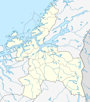 Vormstad  Vormstad Location in Sør-Trøndelag | |
| Coordinates: 63°11′58″N 09°46′11″E / 63.19944°N 9.76972°ECoordinates: 63°11′58″N 09°46′11″E / 63.19944°N 9.76972°E | |
| Country | Norway |
| Region | Trøndelag |
| County | Sør-Trøndelag |
| District | Orkdalen |
| Municipality | Orkdal |
| Area[1] | |
| • Total | 0.31 km2 (0.12 sq mi) |
| Elevation[2] | 40 m (130 ft) |
| Population (2009)[1] | |
| • Total | 291 |
| • Density | 939/km2 (2,430/sq mi) |
| Time zone | CET (UTC+01:00) |
| • Summer (DST) | CEST (UTC+02:00) |
| Post Code | 7327 Svorkmo |
Vormstad is village in the municipality of Orkdal in Sør-Trøndelag county, Norway. The village is located along the Orkla River between the villages of Svorkmo and Fannrem. The village of Hoston lies about 9 kilometres (5.6 mi) west of Vormstad. The 0.31-square-kilometre (77-acre) village of Vormstad has a population (2009) of 291. The population density of the village is 939 inhabitants per square kilometre (2,430/sq mi).[1]
Vormstad is a centre for salmon fishing in the Orkla River, and the population increases many times through the fishing season in June, July, and August.
The name of the village comes from the river Vorma which flows into the Orkla River at Vormstad. The village was the municipal center of the old municipality of Orkland. Moe Church is located just south of Vormstad.[3]
References
- 1 2 3 Statistisk sentralbyrå (1 January 2009). "Urban settlements. Population and area, by municipality.".
- ↑ "Vormstad" (in Norwegian). yr.no. Retrieved 2011-01-28.
- ↑ Store norske leksikon. "Vormstad" (in Norwegian). Retrieved 2011-01-28.