Wadi Kaam Dam
| Wadi Kaam Dam | |
|---|---|
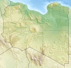 Location of Wadi Kaam Dam in Libya | |
| Country | Libya |
| Location | Zliten |
| Coordinates | 32°24′34″N 14°20′27″E / 32.40944°N 14.34083°ECoordinates: 32°24′34″N 14°20′27″E / 32.40944°N 14.34083°E |
| Status | Operational |
| Opening date | 1979 |
| Dam and spillways | |
| Impounds | Wadi Kaam |
| Height | 50 m (164 ft) |
| Reservoir | |
| Total capacity | 111,000,000 m3 (89,989 acre·ft)[1] |
| Surface area | 13 km2 (5 sq mi) |
The Wadi Kaam Dam is an embankment dam located on Wadi Kaam, 22 km (14 mi) west of Zliten in Misrata District, Libya. Completed in 1979, the primary purpose of the dam is water supply for irrigation.[2]
References
- ↑ "Water profile of Libya". Encyclopedia of Earth. Retrieved 20 August 2011.
- ↑ "African Dam Factsheet". UN FAO. Retrieved 27 August 2011.
This article is issued from Wikipedia - version of the 8/3/2016. The text is available under the Creative Commons Attribution/Share Alike but additional terms may apply for the media files.