Wainui
| Wainui | |
|---|---|
 Wainui | |
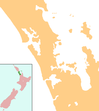
| Coordinates: 36°36′3″S 174°35′31″E / 36.60083°S 174.59194°ECoordinates: 36°36′3″S 174°35′31″E / 36.60083°S 174.59194°E | |
| Country | New Zealand |
| Region | Auckland Region |
| Ward | Rodney Ward |
Wainui is a locality in the Rodney Ward of the Auckland Region of New Zealand. Wainui is approximately 5.5 kilometres north-east of Waitoki and 10 km west of Orewa. The Wainui Stream flows south-west through the area, and exits into the Kaukapakapa River.[1][2]
History
Wainui is an old established area which saw people with English, Scottish and Irish roots settle around 1850. Among the first settlers were two farmers, Hutson and Thick followed by King, Lloyd and Jacobs. About 1860 the Lambert, Lamont, Fennell and Scott families started to clear further land for cultivation. When these settlers arrived Wainui consisted of teatree and fern with fairly extensive areas in virgin bush including magnificent kauris. The two main means of livelihood open to the settlers at that time were timber and gumdigging.
Education
Wainui School is a coeducational full primary (years 1-8) school with a decile rating of 10 and a roll of 225.[3] The school opened in 1879[4] and celebrated its 125th anniversary in 2004.[5]
As early as the 1860s formal schooling was conducted, not in a schoolroom, but in the teacher’s own home. In 1870 the local Presbyterian church was built which is depicted on the Wainui School logo. By 1878 the need for a school was obvious so the schoolhouse was built, then the first classroom opened its door at the beginning of 1879 but the head teacher had to be shared with another school (Locknorrie) so schooling only lasted until lunchtime. It wasn’t until 1912 that Wainui became a full-time school with a roll of 20 pupils. At this time there was no transport to the nearest high school so pupils stayed on until they were 15 years of age. By 1946 another classroom was required as the roll had risen to 60 pupils and with more farms being developed in the area this was to be a continuing theme.
In 1969, the original old school room had become redundant as new classrooms were built. This building was removed from the school grounds. The original school room is now part of the Museum of Transport and Technology in Auckland.[4]
Over the proceeding years the roll has continued to grow and with more farms being sub-divided this will be a continuing trend. By the beginning of the new millennium the school had reached 200. While traditionally a farming area, the make-up of the area has changed somewhat. Most of the contributing families are now small holding “life-style block” owners, working in the local area, the North Shore or Auckland city.
Notes
- ↑ Peter Dowling (editor) (2004). Reed New Zealand Atlas. Reed Books. pp. map 11. ISBN 0-7900-0952-8.
- ↑ Roger Smith, GeographX (2005). The Geographic Atlas of New Zealand. Robbie Burton. pp. map 35. ISBN 1-877333-20-4.
- ↑ "Te Kete Ipurangi - Wainui School". Ministry of Education.
- 1 2 "Wainui School - History". Wainui School. Retrieved 2008-09-30.
- ↑ "Wainui School, 125th Jubilee". Education Gazette New Zealand. 82 (13). 21 July 2003. Retrieved 2008-09-30.