Walford, Somerset
Coordinates: 51°02′52″N 3°02′24″W / 51.0479°N 3.0400°W
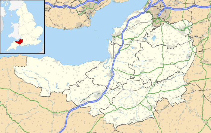
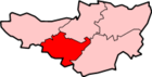
Walford is a small village 3 miles (5 km) north east of Taunton in Somerset, England. Most of the village, including Walford Cross at the junction of the A38 and the A361, lies in the civil parish of Creech St Michael. The western part of the village, including Walford House, is in the civil parish of West Monkton. The village lies close to the A38 and the M5 motorway.
The place was first recorded in 682 as Wealaford.[1]
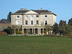
Walford House was built in the late 18th century but in 1985 was converted into flats.[2] It is a Grade II* listed building.[3]
Walford Farm, known as Walford Place until the 18th century, has a cruck roof which dates back to about 1600.[1]
References
- 1 2 R W Dunning, C R Elrington (Editors), A P Baggs, M C Siraut (1992). "Creech St. Michael". Victoria County History. A History of the County of Somerset: Volume 6: Andersfield, Cannington, and North Petherton Hundreds (Bridgwater and neighbouring parishes). Institute of Historical Research. Retrieved 5 September 2013.
- ↑ "Walford House". National heritage list for England. English Heritage. Retrieved 3 September 2013.
- ↑ "Walford House". Images of England. English Heritage. Retrieved 2009-02-11.
This article is issued from Wikipedia - version of the 4/23/2014. The text is available under the Creative Commons Attribution/Share Alike but additional terms may apply for the media files.