Washington State Route 241
| ||||
|---|---|---|---|---|
|
SR 241 is highlighted in red. | ||||
| Route information | ||||
| Auxiliary route of SR 24 | ||||
| Defined by RCW 47.17.460 | ||||
| Maintained by WSDOT | ||||
| Length: | 25.18 mi[1] (40.52 km) | |||
| Existed: | 1964[2] – present | |||
| Major junctions | ||||
| South end: |
| |||
|
| ||||
| North end: |
| |||
| Location | ||||
| Counties: | Yakima, Benton | |||
| Highway system | ||||
| ||||


State Route 241 (SR 241) is a 25.18-mile-long (40.52 km) state highway serving Yakima and Benton counties in the U.S. state of Washington. The highway begins at SR 22 in Mabton and travels north to Sunnyside, intersecting Interstate 82 (I-82) and U.S. Route 12 (US 12) in an interchange, before entering the Rattlesnake Hills and ending at SR 24. Prior to the establishment of SR 241 in 1970, the highway between Sunnyside and the Rattlesnake Hills was designated as Secondary State Highway 3V (SSH 3V). SR 241 was moved during the construction of I-82 during the 1970s and 1980s and the roadway extended south to Mabton in 1991.
Route description
SR 241 begins as Reservation Street at an intersection with SR 22 southwest of Mabton and travels northeast across a BNSF railway into Mabton.[3][4] The highway turns north onto 1st Avenue and the Sunnyside–Mabton Road,[1] passing Round Lake and crossing the Yakima River on a 2-lane bridge.[5][6] SR 241 continues into farmland before crossing over a Union Pacific rail line and the Sulphur Creek Wasteway into Sunnyside.[4][7][8] The roadway briefly turns east onto Alexander Road and north onto Waneta Road,[1] intersecting I-82 and US 12 in a diamond interchange.[9] SR 241 crosses over another BNSF rail line and the Lower Yakima Valley Pathway at an intersection with the Yakima Valley Highway,[4] the former route of US 12.[1] The highway, now named Hanford Road, travels on the east side of Sunnyside and passes Sunnyside Municipal Airport before leaving,[10] becoming parallel with Sulphur Creek and entering the Rattlesnake Hills.[11][12] SR 241 briefly curves east into Benton County before re-entering Yakima County and ending at SR 24 west of the Hanford Reach National Monument.[13]
Every year, the Washington State Department of Transportation (WSDOT) conducts a series of surveys on its highways in the state to measure traffic volume. This is expressed in terms of average annual daily traffic (AADT), which is a measure of traffic volume for any average day of the year. In 2011, WSDOT calculated that between 1,500 and 13,000 vehicles per day used the highway, mostly at the I-82 interchange in Sunnyside.[14]
History
SR 241 was originally designated as SSH 3V in 1967,[15] extending on an existing paved road from newly signed US 12 in Sunnyside to SSH 11A in the Rattlesnake Hills.[16][17] The highway was signed as SR 241 in 1970 as SSH 11A became SR 24.[2][18] SR 241 was extended south onto Waneta Road to an interchange with I-82 and US 12 in 1982,[19] but an interchange with the Sunnyside–Mabton Road was considered during the planning of I-82 in the 1970s.[20] The highway was extended further south in 1991 to SR 22 in Mabton.[2] No major revisions to the route of the highway have occurred since.[21]
Major intersections
| County | Location | mi[1] | km | Destinations | Notes | |||
|---|---|---|---|---|---|---|---|---|
| Yakima | Mabton | 0.00 | 0.00 | Southern terminus | ||||
| Sunnyside | 7.46– 7.61 | 12.01– 12.25 | Interchange | |||||
| Benton |
No major junctions | |||||||
| Yakima | | 25.18 | 40.52 | Northern terminus | ||||
| 1.000 mi = 1.609 km; 1.000 km = 0.621 mi | ||||||||
References
- 1 2 3 4 5 Staff (2012), State Highway Log: Planning Report 2011, SR 2 to SR 971 (PDF), Washington State Department of Transportation, pp. 1274–1280, retrieved January 21, 2013
- 1 2 3 "47.17.460: State route No.", Revised Code of Washington, Washington State Legislature, 1970; revised 1987, 1991, retrieved January 21, 2013 Check date values in:
|date=(help) - ↑ "Feature Detail Report for: Mabton", Geographic Names Information System, United States Geological Survey, September 10, 1979, retrieved January 21, 2013
- 1 2 3 2011 Washington State Rail System (PDF) (Map). Washington State Department of Transportation. January 2012. Retrieved January 21, 2013.
- ↑ "Feature Detail Report for: Round Lake", Geographic Names Information System, United States Geological Survey, September 10, 1979, retrieved January 21, 2013
- ↑ "Feature Detail Report for: Yakima River", Geographic Names Information System, United States Geological Survey, September 10, 1979, retrieved January 21, 2013
- ↑ "Feature Detail Report for: Sulphur Creek Wasteway", Geographic Names Information System, United States Geological Survey, September 10, 1979, retrieved January 21, 2013
- ↑ "Feature Detail Report for: Sunnysde", Geographic Names Information System, United States Geological Survey, September 10, 1979, retrieved January 21, 2013
- ↑ SR 82 - Exit 69: Junction SR 241/Waneta Road (PDF), Washington State Department of Transportation, July 29, 1994, retrieved January 21, 2013
- ↑ "Feature Detail Report for: Sunnyside Municipal Airport", Geographic Names Information System, United States Geological Survey, March 1, 1990, retrieved January 21, 2013
- ↑ "Feature Detail Report for: Sulphur Creek", Geographic Names Information System, United States Geological Survey, September 10, 1979, retrieved January 21, 2013
- ↑ "Feature Detail Report for: Rattlesnake Hills", Geographic Names Information System, United States Geological Survey, September 10, 1979, retrieved January 21, 2013
- ↑ Google (January 21, 2013). "State Route 241" (Map). Google Maps. Google. Retrieved January 21, 2013.
- ↑ Staff (2011), 2011 Annual Traffic Report (PDF), Washington State Department of Transportation, p. 162, retrieved January 21, 2013
- ↑ Washington State Legislature (1967), "Chapter", Session Laws of the State of Washington, Session Laws of the State of Washington (1967 ed.), Olympia, Washington: Washington State Legislature
- ↑ "Highway 410 is now U.S. No. 12", Walla Walla Union-Bulletin, p. 1, December 28, 1967
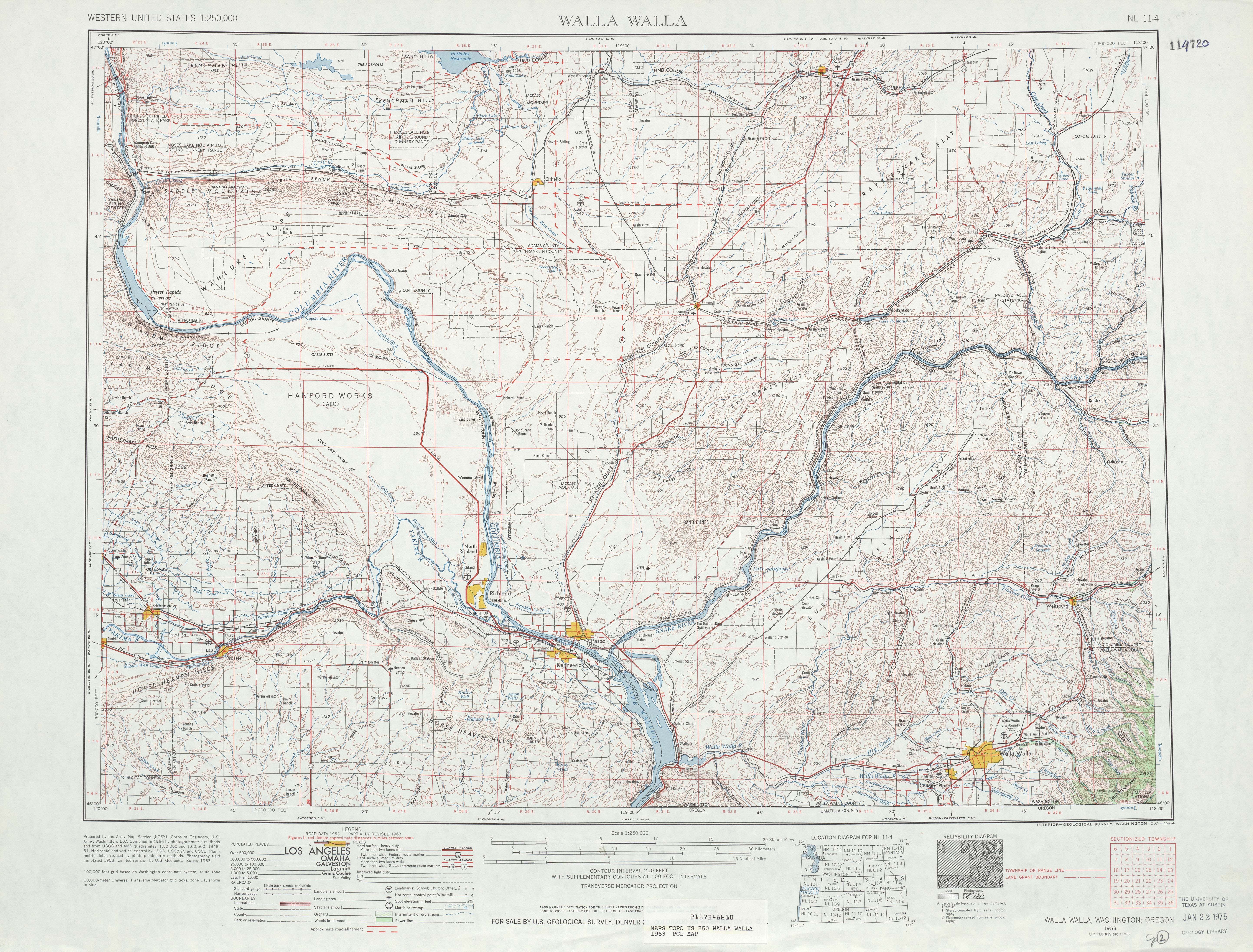
- ↑ Walla Walla, 1963 (JPG) (Map). 1:250,000. United States Geological Survey. 1963. Retrieved January 21, 2013.
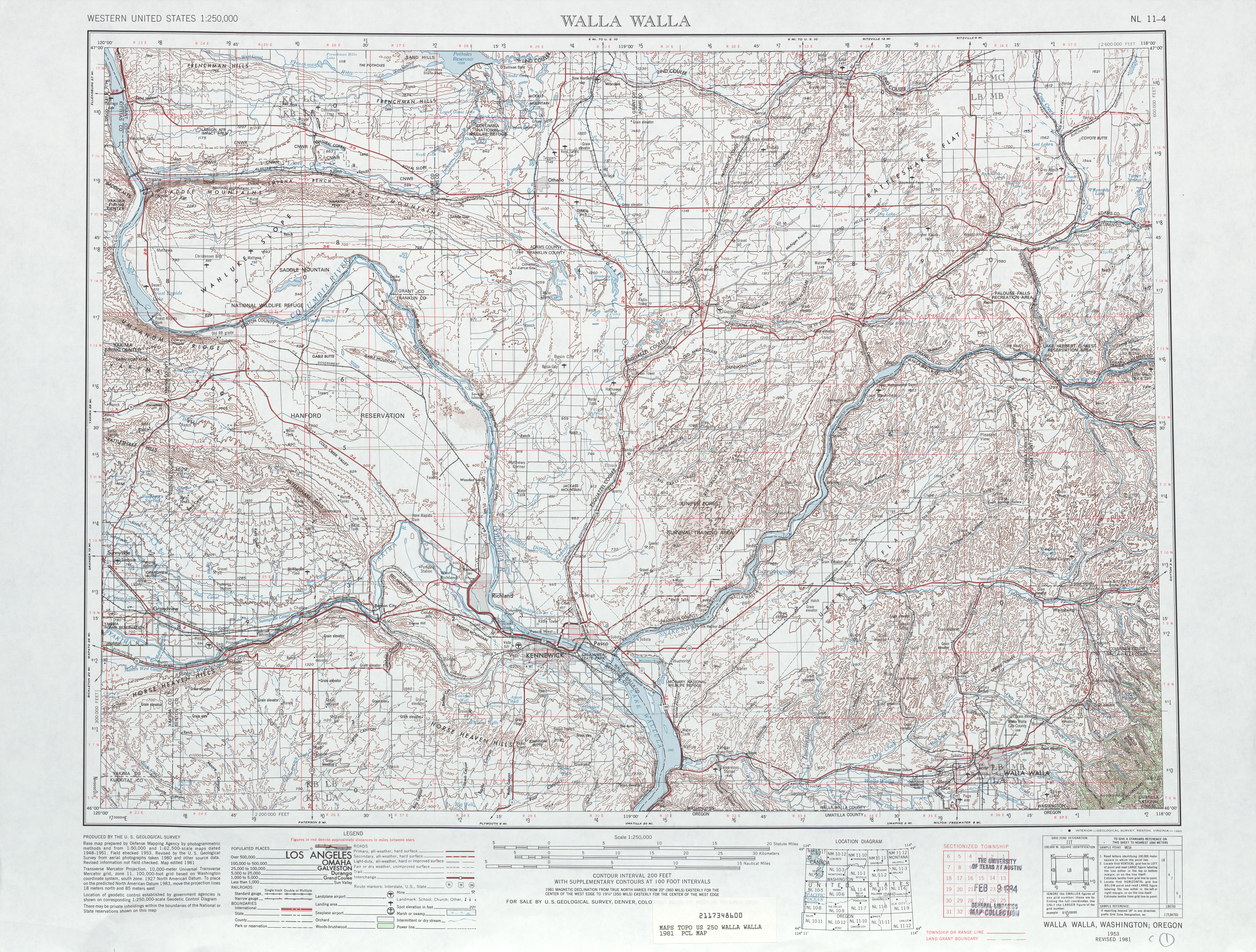
- ↑ Walla Walla, 1981 (JPG) (Map). 1:250,000. United States Geological Survey. 1981. Retrieved January 21, 2013.
- ↑ "Sunnyside selects least expensive access road", Tri-City Herald, Kennewick, Washington, p. 17, February 1, 1982, retrieved January 21, 2013
- ↑ "I-82 interchange fight likely", Tri-City Herald, Kennewick, Washington, p. 26, May 22, 1974, retrieved January 21, 2013
- ↑ Washington State Highways, 2011–2012 (PDF) (Map). 1:842,000. Washington State Department of Transportation. 2011. Retrieved January 21, 2013.