Wedgefield, Western Australia
| Wedgefield Western Australia | |||||||
|---|---|---|---|---|---|---|---|
 Aerial view of Wedgefield from the north, April 2012. | |||||||
 Wedgefield | |||||||
| Coordinates | 20°22′00″S 118°36′00″E / 20.36667°S 118.60000°ECoordinates: 20°22′00″S 118°36′00″E / 20.36667°S 118.60000°E | ||||||
| Population | 538 (2006 census)[1] | ||||||
| Established | 1960s | ||||||
| Postcode(s) | 6721 | ||||||
| Elevation | 7 m (23 ft) | ||||||
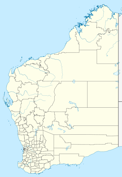
| Location |
| ||||||
| LGA(s) | Town of Port Hedland | ||||||
| State electorate(s) | Pilbara | ||||||
| Federal Division(s) | Durack | ||||||
| |||||||
Wedgefield is an industrial area in Western Australia's Pilbara region, off Great Northern Highway 2 km north of South Hedland, and was gazetted in 1973. It contains a variety of light and service industry premises, and also supports a small residential population. It was named for surveyor and pioneer Charles Wedge. At the 2006 census, Wedgefield had a population of 538.[1]
Notes and references
- 1 2 Australian Bureau of Statistics (25 October 2007). "Wedgefield (State Suburb)". 2006 Census QuickStats. Retrieved 24 July 2011.
This article is issued from Wikipedia - version of the 1/5/2015. The text is available under the Creative Commons Attribution/Share Alike but additional terms may apply for the media files.