West DeLand Residential District
|
West DeLand Residential District | |
|
House in district | |
 | |
| Location |
DeLand, Florida |
|---|---|
| Coordinates | 29°1′57″N 81°18′37″W / 29.03250°N 81.31028°WCoordinates: 29°1′57″N 81°18′37″W / 29.03250°N 81.31028°W |
| Area | 1,000 acres (4.0 km2) |
| NRHP Reference # | 92001617[1] |
| Added to NRHP | November 20, 1992 |
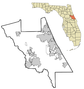
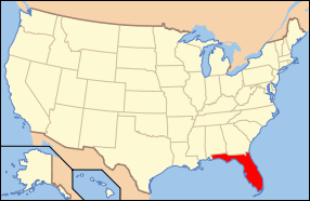
The West DeLand Residential District is a U.S. historic district in DeLand, Florida. It is bounded by University, Florida, New York and Orange Avenues, encompasses approximately 1,000 acres (400 ha), and contains 375 historic buildings. On November 20, 1992, it was added to the U.S. National Register of Historic Places.
References
- ↑ National Park Service (2010-07-09). "National Register Information System". National Register of Historic Places. National Park Service.
External links
Gallery
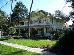
 House in district
 House in district

This article is issued from Wikipedia - version of the 11/26/2016. The text is available under the Creative Commons Attribution/Share Alike but additional terms may apply for the media files.