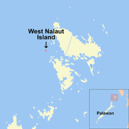
West Nalaut Island
 Map of northern Palawan locating the island | |
.svg.png) West Nalaut Island Location within the Philippines | |
| Geography | |
|---|---|
| Coordinates | 12°3′17″N 119°47′24″E / 12.05472°N 119.79000°ECoordinates: 12°3′17″N 119°47′24″E / 12.05472°N 119.79000°E |
| Archipelago | Calamian Group of Islands |
| Adjacent bodies of water | South China Sea |
| Administration | |
| Region | MIMAROPA |
| Province | Palawan |
West Nalaut Island is an island in northern Palawan, in the Philippines.[1] It is the westernmost of the Calamian Islands, and can form a guide to shipping entering the Coron West Passage.[2] It is approximately 16 kilometres (9.9 mi) off the western coast of Busuanga Island, which is approximately a 40-minute flight from Manila. The uninhabited 47.9-hectare (0.479 km2) island is privately owned. It was attempted to be sold as part of the HGTV show "Island Hunters".
West Nalaut Island has a 1.1 kilometres (0.68 mi) crescent–shaped white sand beach, 3.3 kilometres (2.1 mi) of coastline, several smaller beach coves, 80-metre (260 ft)-high cliffs, and rainforest coverage. It is a 30-minute speedboat journey from 12 World War II wreck dives and local towns.
See also
References
- ↑ Felipe Buencamino, Ignacio Villamor (1920), Census of the Philippine Islands taken under the direction of the Philippine Legislature in the year 1918, 1, Census Office, Bureau of printing, p. 612, retrieved 2011-04-02
- ↑ Reuben Jacob Christman (1930), United States coast pilot: Philippine islands, U.S. Coast and Geodetic Survey, 2 (2 ed.), U.S. G.P.O., p. 20
Puerto Princesa (capital) | |
| Municipalities | |
| Highly urbanized city |
|