Whiskey Gap, Alberta
| Whiskey Gap | |
|---|---|
| Unincorporated community | |
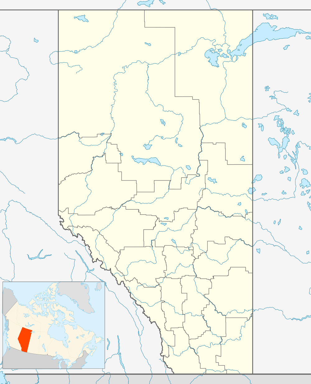 Whiskey Gap Location of Whiskey Gap in Alberta | |
| Coordinates: 49°01′57″N 113°01′53″W / 49.03250°N 113.03139°W | |
| Country |
|
| Province |
|
| Region | Southern Alberta |
| Census division | 3 |
| Municipal district | Cardston County |
| Government | |
| • Governing body | Cardston County Council |
| Time zone | MST (UTC-7) |
| Postal code span | T0K 2P0 |
| Area code(s) | +1-403 |
| Highways | Highway 501 |
| Waterways | Milk River |
Whiskey Gap is a ghost town in southern Alberta, Canada. It is located about 50 miles south of Lethbridge on Highway 501.
History
Taken from the road side historical marker
In the 1860s and 1870s American traders crossed into what would become Alberta to trade goods and alcohol for buffalo robes and furs. One of the main routes for this trade, the Riplinger Road, crossed the border just west of Whiskey Gap.
During the Prohibition period in Alberta between 1916-1924 alcohol was smuggled through this area from the United States. Later it flowed in the opposite direction when the Americans declared Prohibition.
The local post office was named Fareham in 1918, and when the railway reached the area a community consisting of 3 grain elevators, a store, and other businesses and houses grew up around this post office. In 1929 the community was officially renamed Whiskey Gap.[1] Although little remains of this once thriving community, its name reflects its long and colorful past and strategic location.
Geography
The town site is in a pass through the Milk River range of hills on a water shed between the Missouri and Saskatchewan River drainage system, which suggests the name "gap" at first glance.
Media
In 1976 hundreds of people came to Whiskey Gap for the production of Terrence Malick's period film Days of Heaven. The quiet little village was once again booming as it was back in its heyday. Covered wagons, coaches, old-fashioned trucks, and people dressed in period clothing bustled about the area.
See also
References
- ↑ Shaw, Keith (1978). Chief mountain country : a history of Cardston and district. Volume I. Cardston: Cardston and District Historical Society. p. 79. ISBN 0-919213-89-8.
External links
 |
Cardston | Jefferson | Magrath | |
| Waterton Lakes National Park | |
Del Bonita | ||
| ||||
| | ||||
| Glacier National Park | Montana, United States | Cut Bank |
Coordinates: 49°01′57″N 113°01′53″W / 49.03250°N 113.03139°W