Whittle Peninsula
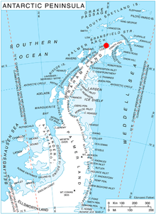
Location of Whittle Peninsula in Graham Land, Antarctic Peninsula.
Whittle Peninsula (63°49′S 59°48′W / 63.817°S 59.800°WCoordinates: 63°49′S 59°48′W / 63.817°S 59.800°W) is a peninsula, 5 nautical miles (9 km) long, terminating in Cape Kater and Radibosh Point to the north, and forming the west limit of Charcot Bay on Davis Coast, Graham Land. Surveyed by the Swedish Antarctic Expedition in December 1902. Named in 1977 by the United Kingdom Antarctic Place-Names Committee (UK-APC) after Sir Frank Whittle, Air Commodore, RAF, British pioneer of gas turbines for jet propulsion of aircraft from 1937.
![]() This article incorporates public domain material from the United States Geological Survey document "Whittle Peninsula" (content from the Geographic Names Information System).
This article incorporates public domain material from the United States Geological Survey document "Whittle Peninsula" (content from the Geographic Names Information System).
This article is issued from Wikipedia - version of the 11/21/2015. The text is available under the Creative Commons Attribution/Share Alike but additional terms may apply for the media files.