Wolverine Peak
| Wolverine Peak | |
|---|---|
 Wolverine Peak Montana, U.S. | |
| Highest point | |
| Elevation | 10,479 ft (3,194 m) [1] |
| Coordinates | 45°03′12″N 110°00′34″W / 45.05333°N 110.00944°WCoordinates: 45°03′12″N 110°00′34″W / 45.05333°N 110.00944°W [1] |
| Geography | |
| Location | Montana, U.S. |
| Parent range | Absaroka Range |
| Topo map | USGS Cutoff Mountain |
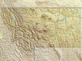
Wolverine Peak is a mountain in the Absaroka Range in the state of Montana, United States. It has a height of 10,479 feet (3,194 m) and is located in the Park County.[1] The summit of Wolverine Peak is located at the triple border point between the Absaroka-Beartooth Wilderness, Custer National Forest and Yellowstone National Park.[2]
References
- 1 2 3 "Wolverine Peak". Geographic Names Information System. United States Geological Survey. Retrieved May 5, 2014.
- ↑ "Wolverine Peak, Montana". Peakbagger.com. Retrieved May 5, 2014.
This article is issued from Wikipedia - version of the 12/23/2015. The text is available under the Creative Commons Attribution/Share Alike but additional terms may apply for the media files.