Wyandot County Airport
| Wyandot County Airport | |
|---|---|
| IATA: none – ICAO: none – FAA LID: 56D | |
| Summary | |
| Airport type | Public |
| Owner/Operator | County Airport Authority |
| Serves | Upper Sandusky, Ohio |
| Opened | September 1955 [1] |
| Coordinates | 40°53′00″N 083°18′52″W / 40.88333°N 83.31444°WCoordinates: 40°53′00″N 083°18′52″W / 40.88333°N 83.31444°W |
| Map | |
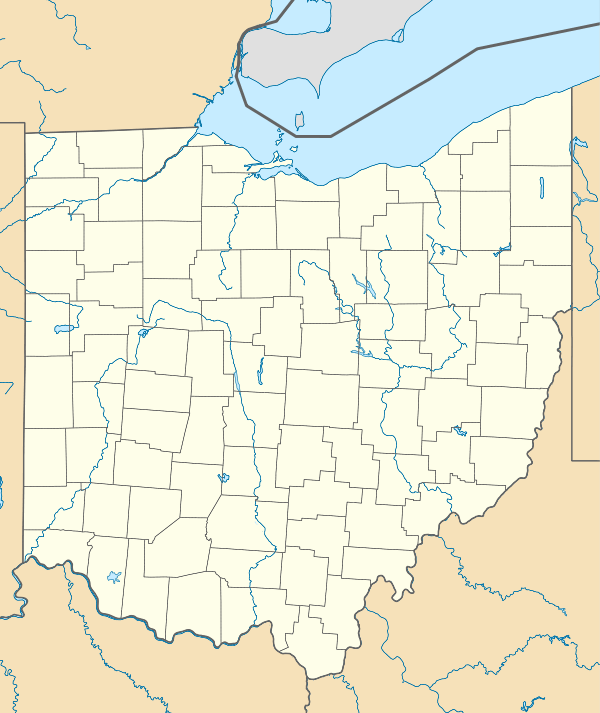 56D  56D Location of airport in Ohio/United States | |
Wyandot County Airport (FAA LID: 56D) is a public airport located four miles (5 km) northwest of Upper Sandusky, Ohio, United States. It is owned and operated by the County Airport Authority.[2]
Facilities and aircraft
Wyandot County Airport covers an area of 107 acres (43 ha) which contains one runway designated 18/38 with a 3,997 x 75 ft (1,218 x 23 m) asphalt pavement. For the 12-month period ending December 31, 2012, the airport had 7,410 aircraft operations, 93.1% general aviation, 6.7% air taxi and less than 1% military.[2]
References
- ↑ "56D Wyandot County". SkyVector Aeronautical Charts. Retrieved 6 November 2015.
- 1 2 3 FAA Airport Master Record for 56D (Form 5010 PDF), effective 2014-11-13
External links
- Resources for this airport:
- FAA airport information for 56D
- AirNav airport information for 56D
- FlightAware airport information and live flight tracker
- SkyVector aeronautical chart for 56D
This article is issued from Wikipedia - version of the 12/5/2016. The text is available under the Creative Commons Attribution/Share Alike but additional terms may apply for the media files.