Yemo Airport
| Yemo Airport | |||||||||||
|---|---|---|---|---|---|---|---|---|---|---|---|
| IATA: none – ICAO: FZGY | |||||||||||
| Summary | |||||||||||
| Airport type | Public | ||||||||||
| Serves | Yemo | ||||||||||
| Elevation AMSL | 1,525 ft / 465 m | ||||||||||
| Coordinates | 0°26′55″S 21°55′06″E / 0.44861°S 21.91833°ECoordinates: 0°26′55″S 21°55′06″E / 0.44861°S 21.91833°E | ||||||||||
| Map | |||||||||||
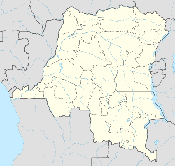 FZGY Location of the airport in | |||||||||||
| Runways | |||||||||||
| |||||||||||
Yemo Airport (ICAO: FZGY) is an airstrip serving the village of Yemo in Équateur Province, Democratic Republic of the Congo. The narrow runway also serves as a road within the village, and tapers off to a trail at the southern end.
See also
 Democratic Republic of the Congo portal
 Aviation portal
- List of airports in the Democratic Republic of the Congo
References
- ↑ Airport information for FZGY at Great Circle Mapper.
- ↑ Google Maps - Yemo
External links
This article is issued from Wikipedia - version of the 12/5/2016. The text is available under the Creative Commons Attribution/Share Alike but additional terms may apply for the media files.