Yendegaia Airport
| Yendegaia Airport Aeropuerto Yendegaia | |||||||||||
|---|---|---|---|---|---|---|---|---|---|---|---|
| IATA: none – ICAO: SCNY | |||||||||||
| Summary | |||||||||||
| Airport type | Public | ||||||||||
| Serves | Cabo de Hornos | ||||||||||
| Location |
| ||||||||||
| Elevation AMSL | 164 ft / 50 m | ||||||||||
| Coordinates | 54°49′51.0″S 068°50′6.7″W / 54.830833°S 68.835194°WCoordinates: 54°49′51.0″S 068°50′6.7″W / 54.830833°S 68.835194°W | ||||||||||
| Map | |||||||||||
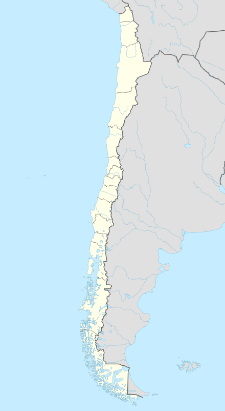 SCNY Location of Yendegaia Airport in Chile | |||||||||||
| Runways | |||||||||||
| |||||||||||
Yendegaia Airport (Spanish: Aeropuerto Yendegaia, ICAO: SCNY) is a public use airport located 79 kilometres (49 mi) west of Cabo de Hornos, Magallanes y Antártica Chilena, Chile.
See also
References
- ↑ Airport record for Yendegaia Airport at Landings.com. Retrieved 2013-09-03
- ↑ Google (2013-09-03). "location of Yendegaia Airport" (Map). Google Maps. Google. Retrieved 2013-09-03.
External links
- Airport record for Yendegaia Airport at Landings.com
This article is issued from Wikipedia - version of the 11/10/2016. The text is available under the Creative Commons Attribution/Share Alike but additional terms may apply for the media files.