Yucca Airstrip
| Yucca Airstrip | |||||||||||||||
|---|---|---|---|---|---|---|---|---|---|---|---|---|---|---|---|
| Summary | |||||||||||||||
| Operator | Department of Energy | ||||||||||||||
| Location | Nevada Test Site, Nevada, United States | ||||||||||||||
| Elevation AMSL | 3,919 ft / 1,195 m | ||||||||||||||
| Coordinates | 36°56′45″N 116°02′16″W / 36.94583°N 116.03778°WCoordinates: 36°56′45″N 116°02′16″W / 36.94583°N 116.03778°W | ||||||||||||||
| Map | |||||||||||||||
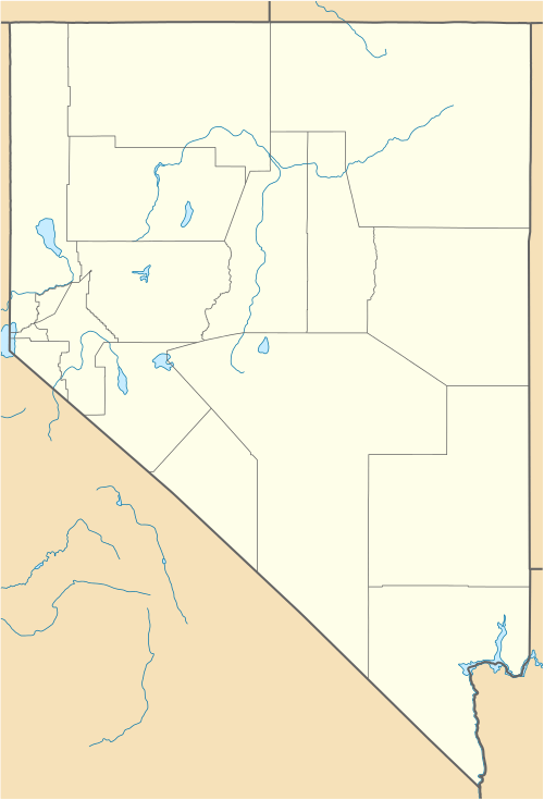 KUCC Location of the airport in Nevada | |||||||||||||||
| Runways | |||||||||||||||
| |||||||||||||||
Yucca Airstrip (IATA: UCC, ICAO: KUCC, FAA LID: NV11) is a private-use airport located 17 miles (27 km) north of the central business district of Mercury, in Nye County, Nevada, United States. The airport is located on the Nevada Test Site[1] and is owned by the United States Department of Energy. On the sectional chart it is depicted as an unverified airstrip.
Although many U.S. airports use the same three-letter location identifier for the FAA and IATA, this airport is assigned NV11 by the FAA but has been assigned UCC from the IATA. [2]
History
The airport was the staging area for Shot Badger, a test of the Upshot–Knothole Series of nuclear test shots on April 18, 1953.[3]
Facilities
Yucca Airstrip Airport covers an area of 41 acres (17 ha) and has two runways, one located on the salt flat and a shorter, more recently constructed asphalt runway just east of the salt flat:
- Runway 01/19: 4,990 x 75 ft (1,521 x 23 m), surface: Asphalt
- Runway 14/32: 9,000 x 200 ft (2,743 x 61 m), surface: Salt
The asphalt runway was constructed in 2002 as part of an unmanned aerial vehicle test facility.[4]
References
- FAA Airport Master Record for NV11 (Form 5010 PDF)
- Great Circle Mapper: UCC/KUCC - Mercury, Nevada (Yucca Airstrip)
- ↑ United States Geological Survey. Nevada Test Site. Geologic Surface Effects of Underground Nuclear Testing. Accessed on April 18, 2009.
- ↑ Airport information for KUCC at Great Circle Mapper.
- ↑ United States Atmospheric Nuclear Weapons Tests
- ↑ Rosenberg, Zach (December 7, 2011). "Satellite images reveal secret Nevada UAV site". Flightglobal. Retrieved March 10, 2013.
External links
- Resources for this airport:
- FAA airport information for NV11
- AirNav airport information for NV11
- FlightAware airport information and live flight tracker
- SkyVector aeronautical chart for NV11