Zabrat Airport
| Zabrat Airport | |||||||||||||||
|---|---|---|---|---|---|---|---|---|---|---|---|---|---|---|---|
| Summary | |||||||||||||||
| Airport type | Public | ||||||||||||||
| Serves | Baku | ||||||||||||||
| Location | Azerbaijan | ||||||||||||||
| Elevation AMSL | 92 ft / 28 m | ||||||||||||||
| Coordinates | 40°29′42.4″N 49°58′37.1″E / 40.495111°N 49.976972°ECoordinates: 40°29′42.4″N 49°58′37.1″E / 40.495111°N 49.976972°E | ||||||||||||||
| Map | |||||||||||||||
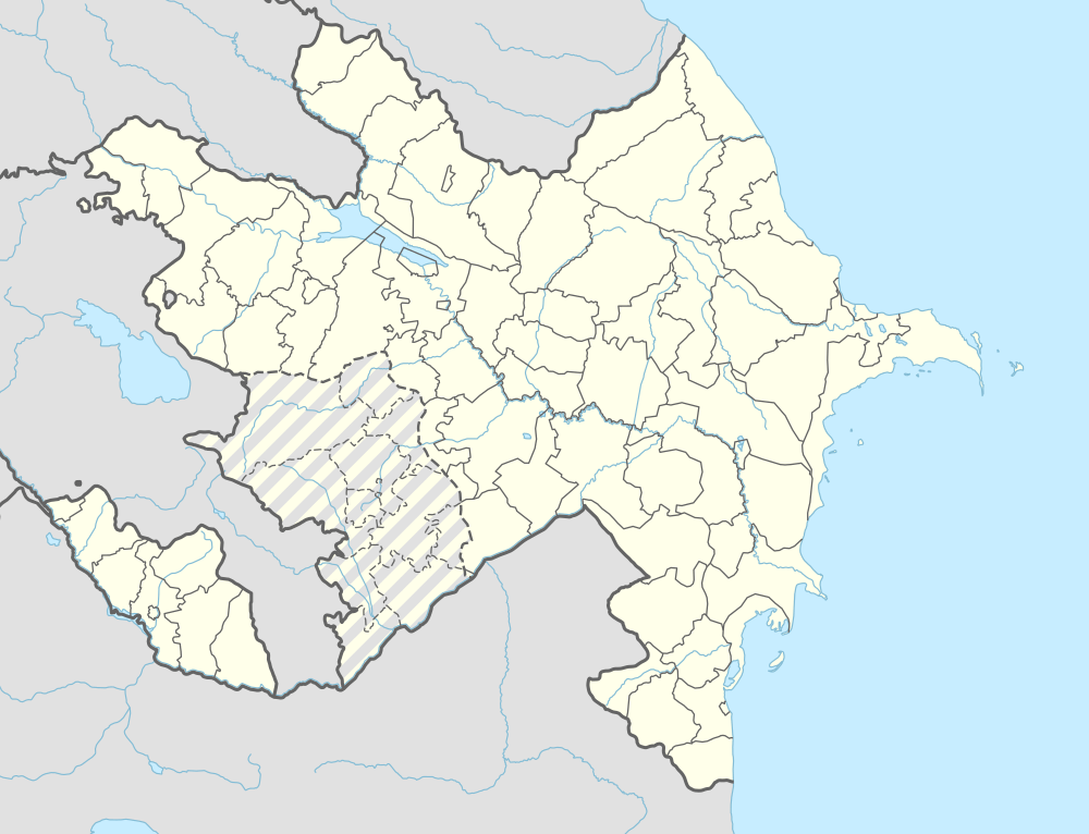 UBTT Location of Zabrat Airport in Azerbaijan | |||||||||||||||
| Runways | |||||||||||||||
| |||||||||||||||
Zabrat Airport (IATA: ZXT, ICAO: UBTT) is a public use airport located 6 nm northeast of Baku, Bakı, Azerbaijan.
See also
References
- ↑ Airport record for Zabrat Airport at Landings.com. Retrieved 2013-08-08
- ↑ Google (2013-08-08). "location of Zabrat Airport" (Map). Google Maps. Google. Retrieved 2013-08-08.
External links
- Airport record for Zabrat Airport at Landings.com
This article is issued from Wikipedia - version of the 11/10/2016. The text is available under the Creative Commons Attribution/Share Alike but additional terms may apply for the media files.