Zselicszentpál
| Zselicszentpál | |
|---|---|
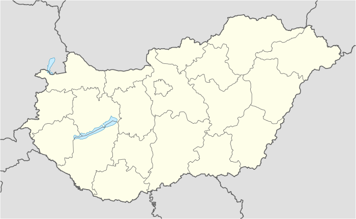 Zselicszentpál Location of Zselicszentpál | |
| Coordinates: 46°18′29″N 17°49′18″E / 46.30804°N 17.82166°ECoordinates: 46°18′29″N 17°49′18″E / 46.30804°N 17.82166°E | |
| Country |
|
| County | Somogy |
| Area | |
| • Total | 10.35 km2 (4.00 sq mi) |
| Population (2004) | |
| • Total | 414 |
| • Density | 40/km2 (100/sq mi) |
| Time zone | CET (UTC+1) |
| • Summer (DST) | CEST (UTC+2) |
| Postal code | 7474 |
| Area code(s) | 82 |
Zselicszentpál is a village in Somogy county, Hungary.
External links
This article is issued from Wikipedia - version of the 9/9/2016. The text is available under the Creative Commons Attribution/Share Alike but additional terms may apply for the media files.