Mayaguana Airport
| Mayaguana Airport | |||||||||||
|---|---|---|---|---|---|---|---|---|---|---|---|
| IATA: MYG – ICAO: MYMM | |||||||||||
| Summary | |||||||||||
| Location | Mayaguana | ||||||||||
| Elevation AMSL | 11 ft / 3 m | ||||||||||
| Coordinates | 22°22′46″N 073°00′49″W / 22.37944°N 73.01361°WCoordinates: 22°22′46″N 073°00′49″W / 22.37944°N 73.01361°W | ||||||||||
| Map | |||||||||||
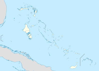 MYMM Location in The Bahamas | |||||||||||
| Runways | |||||||||||
| |||||||||||
Mayaguana Airport (IATA: MYG, ICAO: MYMM) is an airport in Mayaguana in the Bahamas.
Airlines and destinations
| Airlines | Destinations |
|---|---|
| Bahamasair | Nassau |
References
- ↑ Airport information for MYMM at World Aero Data. Data current as of October 2006.Source: DAFIF.
This article is issued from Wikipedia - version of the 12/4/2016. The text is available under the Creative Commons Attribution/Share Alike but additional terms may apply for the media files.