Ratanpar
| Ratanpar રતનપર | |
|---|---|
| Village | |
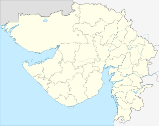 Ratanpar  Ratanpar Location in Gujarat, India | |
| Coordinates: 22°42′45″N 71°38′6″E / 22.71250°N 71.63500°ECoordinates: 22°42′45″N 71°38′6″E / 22.71250°N 71.63500°E | |
| Country |
|
| State | Gujarat |
| District | Surendranagar District |
| Elevation | 108 m (354 ft) |
| Population | |
| • Total | 459[1] |
| Languages | |
| • Official | Gujarati (State),[2] Hindi (Federal) |
| Time zone | IST (UTC+5:30) |
| PIN | 363020 |
| Telephone code | 02755 |
| Vehicle registration | GJ |
| Nearest cities | Wadhwan, Thangadh,Limbdi and Wakaner |
| Climate | Dry almost (Köppen) |
| Website |
gujaratindia |
Ratanpar is a village in the Surendranagar District of the India in state of Gujarat. Ratanpar is surrounded by Muli Taluka towards North, Chuda Taluka towards East, Wadhwan Taluka towards East, Surendranagar Taluka towards East. [3] Ratanpar's Postal Index Number code is 363020 and the postal head office is Surendranagar.[4]
References
- ↑ "Population of Ratanpar Village, Surendranagar, Gujarat". Populationofindia.co.in. Retrieved 2014-08-14.
- ↑ "Ethnologue report for language code: guj". Archive.ethnologue.com. Retrieved 2014-08-14.
- ↑ "Ratanpar village in Surendranagar, gujarat". onefivenine.com. Retrieved 2014-08-14.
- ↑ "Ratanpar Pin Code Details". IndianPostCodes.com. Retrieved 2014-08-14.
This article is issued from Wikipedia - version of the 11/15/2016. The text is available under the Creative Commons Attribution/Share Alike but additional terms may apply for the media files.