Ålvund
| Ålvund | |
|---|---|
| Village | |
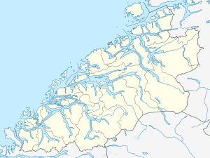 Ålvund  Ålvund Location in Møre og Romsdal | |
| Coordinates: 62°50′03″N 08°30′36″E / 62.83417°N 8.51000°ECoordinates: 62°50′03″N 08°30′36″E / 62.83417°N 8.51000°E | |
| Country | Norway |
| Region | Western Norway |
| County | Møre og Romsdal |
| District | Nordmøre |
| Municipality | Sunndal Municipality |
| Elevation[1] | 20 m (70 ft) |
| Time zone | CET (UTC+01:00) |
| • Summer (DST) | CEST (UTC+02:00) |
| Post Code | 6622 Ålvundfjord |
Ålvund is a village in Sunndal Municipality in Møre og Romsdal county, Norway. It is located at the beginning of the Ålvundfjorden (an extension of the Trongfjorden, about 8 kilometres (5.0 mi) northwest of the village of Ålvundeidet and the Innerdalen valley. The river Ålvundelva flows down the Innerdalen valley, through Ålvundeidet, and empties into the fjord at the village of Ålvund. The Norwegian National Road 70 runs through Ålvund on its way from Sunndalsøra north to Tingvoll and the town of Kristiansund.
Its population in 2003 was 202,[2] but since 2004 it is not considered an urban settlement by Statistics Norway, and its data is therefore not registered.[3]
Other villages in Sunndal Municipality
Gjøra, Grøa, Hoelsand, Jordalsgrenda, Romfo, Ålvund, Ålvundeidet, and Øksendalsøra
References
- ↑ "Ålvund" (in Norwegian). yr.no. Retrieved 2010-11-18.
- ↑ Statistics Norway (1 January 2003). "Urban settlements. Population and area, by municipality".
- ↑ Statistics Norway (1 January 2004). "New and omitted urban settlements".