Ålvundeidet
| Ålvundeidet Ålvundeid | |
|---|---|
| Village | |
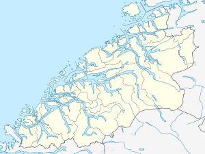 Ålvundeidet  Ålvundeidet Location in Møre og Romsdal | |
| Coordinates: 62°46′16″N 08°31′49″E / 62.77111°N 8.53028°ECoordinates: 62°46′16″N 08°31′49″E / 62.77111°N 8.53028°E | |
| Country | Norway |
| Region | Western Norway |
| County | Møre og Romsdal |
| District | Nordmøre |
| Municipality | Sunndal Municipality |
| Elevation[1] | 137 m (449 ft) |
| Time zone | CET (UTC+01:00) |
| • Summer (DST) | CEST (UTC+02:00) |
| Post Code | 6620 Ålvundeid |
Ålvundeidet is a village in Sunndal Municipality in Møre og Romsdal county, Norway. The village is located at the western end of the Innerdalen valley on an isthmus between the Ålvundfjorden and Sunndalsfjorden. The village area is located along the Norwegian National Road 70, about halfway between the villages of Ålvund and Sunndalsøra.
The village was the administrative centre of the old municipality of Ålvundeid which existed from 1899 until 1960 when it was merged into Sunndal Municipality. The village is home to Ålvundeid Church which serves all of the Ålvundeid parish in northern Sunndal.[2]
Other villages in Sunndal Municipality
Gjøra, Grøa, Hoelsand, Jordalsgrenda, Romfo, Ålvund, Ålvundeidet, and Øksendalsøra
References
- ↑ "Ålvundeidet" (in Norwegian). yr.no. Retrieved 2013-04-24.
- ↑ Store norske leksikon. "Ålvundeid – sogn" (in Norwegian). Retrieved 2013-04-24.
This article is issued from Wikipedia - version of the 8/1/2016. The text is available under the Creative Commons Attribution/Share Alike but additional terms may apply for the media files.