Əliabad, Nakhchivan
| Əliabad | |
|---|---|
| Municipality | |
 Əliabad | |
| Coordinates: 39°13′36″N 45°23′54″E / 39.22667°N 45.39833°ECoordinates: 39°13′36″N 45°23′54″E / 39.22667°N 45.39833°E | |
| Country |
|
| Autonomous republic | Nakhchivan |
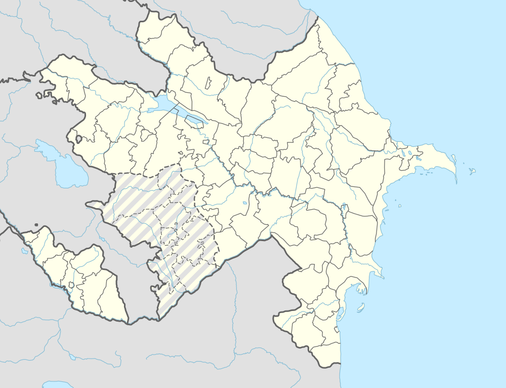
| City | Nakhchivan City |
| Population (2008)[1] | |
| • Total | 9,495 |
| Time zone | AZT (UTC+4) |
Əliabad (also, Myasnikabad and Myasnikovabad) is a settlement and municipality in Nakhchivan City, Nakhchivan, Azerbaijan. It is located in the near of the Nakhchivan-Sharur highway, on the plain. Its population is busy with grain-growing, vegetable-growing and animal husbandry. There are secondary school, music school, library, club, kindergarten and a medical center in the settlement. In the center of the settlement was built the memorial complex of "Martyrs". It has a population of 9,495.[2]
Etymology
In Soviet times, it was called in the name of Armenian bolshevik A. F. Myasnikov. Since 1991, it is officially registered as Əliabad (Aliabad). The name of the settlement means "the settlement which belongs to Ali".[3]
References
- ↑ World Gazetteer: Azerbaijan – World-Gazetteer.com
- ↑ ANAS, Azerbaijan National Academy of Sciences (2005). Nakhchivan Encyclopedia. volume I. Baku: ANAS. p. 160. ISBN 5-8066-1468-9.
- ↑ Encyclopedic dictionary of Azerbaijan toponyms. In two volumes. Volume I. p. 304. Baku: "East-West". 2007. ISBN 978-9952-34-155-3.
Capital: Nakhchivan City | ||
_(semi-secession).svg.png) | ||
This article is issued from Wikipedia - version of the 8/9/2016. The text is available under the Creative Commons Attribution/Share Alike but additional terms may apply for the media files.