1968 Sulawesi earthquake
  | |
| Date | August 14, 1968 |
|---|---|
| Origin time | 22:14 [1] |
| Magnitude | 7.4 |
| Depth | 17 km (11 mi) [1] |
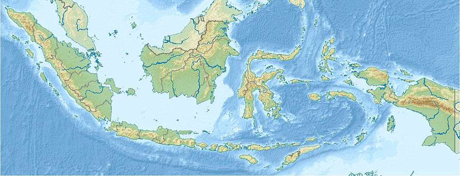
| Epicenter | 0°04′N 119°41′E / 0.06°N 119.69°E [1] |
| Areas affected | Indonesia |
| Casualties | 213 killed |
The 1968 Sulawesi earthquake struck Indonesia on August 14. It had a Richter magnitude of 7.4, spawned a large tsunami, and killed roughly 200 people.
Damage and casualties
The earthquake had a Richter magnitude of 7.4. It created a tsunami with wave heights of 8 m (26 ft) to 10 m (33 ft), which soon traveled onto Sulawesi. The most extensive waves reached 300 m (980 ft) inland, destroying 700 homes and killing around 200 people.[2]
Geology
The earthquake ruptured along a fault in Manimbaja Bay. It caused subsidence that decreased elevations by as much as 2 m (6 ft 7 in) to 3 m (9.8 ft) along the coast. It also appeared to uplift at least one of the Togian Islands.[2]
The earthquake was near the Celebes Sea; it sank the island of Tuguan.[3]
References
- 1 2 3 Engdahl, E. R.; Vallaseñor, A. (2002). "Global seismicity: 1900–1999". International Handbook of Earthquake & Engineering Seismology (PDF). Part A, Volume 81A (First ed.). Academic Press. p. 682. ISBN 978-0124406520.
- 1 2 "Today in Earthquake History: August 14". United States Geological Survey. October 2, 2012. Retrieved August 14, 2013.
- ↑ Newsletter, International Tsunami Information Center, 1968
This article is issued from Wikipedia - version of the 11/27/2016. The text is available under the Creative Commons Attribution/Share Alike but additional terms may apply for the media files.