1994 Taiwan Strait earthquake
 | |
| Date | 16 September 1994 |
|---|---|
| Magnitude | 6.8 Mw |
| Depth | 13 km |
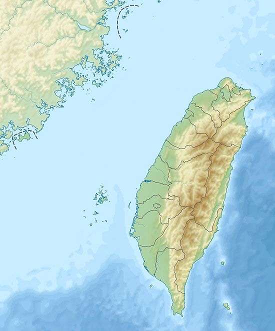
| Epicenter | 22°31′41″N 118°42′40″E / 22.528°N 118.711°E |
| Casualties | 4 |
The 1994 Taiwan Strait earthquake occurred on September 16, 1994 at 14:20 local time (06:20 UTC) in the southern Taiwan Strait. The magnitude of this earthquake was given as Mw 6.8 by USGS[1] and Ms 7.3 by Fujian Seismological Bureau.[2] The epicenter was located about 150 to 180 km from the coast of the border of Guangdong and Fujian, and about 150 km southwest of Taiwan.[3]
Geology
The earthquake occurred in the transition zone from the continental margin to the continent-ocean transitional crust. In this region, the depth of the Moho interface decreases from about 28 km in the west to about 20 km in the east. The transition between continental and oceanic crusts is reflected in the variation of the depth of the Moho interface.[2]
There are several NW trending faults in the Taiwan Strait, including the Ningde-Sandiaojiao fault zone (宁德-三貂角断裂带), the Taizhong-Jinjiang fault zone (台中-晋江断裂带), and the Bashi fault zone (巴士断裂带).[4] In addition, there are several faults in the NE direction, including the Binhai Fault Zone (or the Littoral Fault Zone) (滨海断裂带).[5] Some sources suggested that the earthquake was related to the activity of the Bashi fault system. However, there are still disputes over whether the fault plane should have been in the NW or the NE direction.[2]
A paper of Fujian Seismological Bureau showed that the earthquake was caused by left-lateral strike slip of a normal fault.[2]
The earthquake had a maximum slip of 14 m in the hypocentral region. The source duration was about 4 s, which is short for an event with magnitude about Mw 6.7. From the slip amplitude and the source duration, it was suggested that this earthquake began as a breaking of a strong asperity with low dynamic friction, had high stress drop, and was stopped by large friction around the asperity.[6]
Damage
The intensities recorded in Taiwan were shindo 4 in Penghu, 3 in Kaohsiung, and 2 in Taipei. The earthquake could be felt in Hong Kong and Macau, and the intensity recorded in Hong Kong was MM V to VI.[7][8] This earthquake was felt strongly in Guangdong and Fujian, with building damage and collapse reported. 3 deaths were reported in Guangdong and 1 in Fujian.[2] Cities as north as Hefei and as west as Nanning were included in the felt range.[9]
Tsunami
A tsunami was triggered by the earthquake. The heights of the tsunami were recorded as 38 cm in Penghu, Taiwan and 18 cm in Dongshan, Fujian, China.[10]
References
- ↑ http://earthquake.usgs.gov/earthquakes/eqarchives/significant/sig_1994.php
- 1 2 3 4 5 http://www.csi.ac.cn/manage/html/4028861611c5c2ba0111c5c558b00001/zhenli/wjf/html/zhenli137.htm
- ↑ http://tao.cgu.org.tw/pdf/v71p013.pdf
- ↑ "台湾海峡地区横向构造及其对东南沿海地震的作用" by 沈金瑞, 许世远, and 傅文杰
- ↑ "南澎列岛及邻近海域地质地貌与灾害地质分析" by 詹文欢, 张乔民, 孙宗勋, 唐诚, and 丘学林
- ↑ "The 16 September 1994 Taiwan Strait earthquake: a simple rupture event starting as a break of asperity" by T.-Y. Zheng, Y.-S. Ai, and Q.-Z. Chen
- ↑ http://www.hko.gov.hk/gts/equake/felt_intro1_c.htm
- ↑ "An Ms=7.3 earthquake occurred in the southern part of Taiwan strait" by D. S. Hsu, Acta Seismologica Sinica Volume 7, Number 3 (1994), p507-508
- ↑ "Effects of Seismicity in the Taiwan Strait on the Southeast Coastal Area of the Chinese Mainland" by Zhang, Z., Pan, H., Yan, J., and You, H.
- ↑ twgeoref.moeacgs.gov.tw/storage/2006%5C20060212/0071.pdf