2008 Hastings earthquake
  | |
| Date | Monday 25 August 2008, 11:25 pm NZDT (UTC+13) |
|---|---|
| Magnitude | 5.9 ML |
| Depth | 30 kilometres (19 mi) |
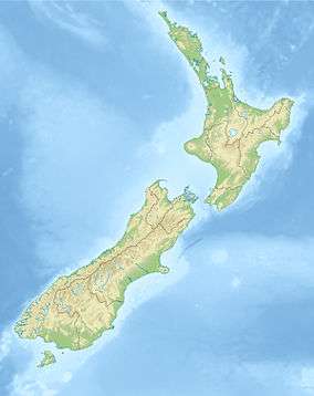
| Epicenter | 39°43′S 176°51′E / 39.72°S 176.85°ECoordinates: 39°43′S 176°51′E / 39.72°S 176.85°E |
| Areas affected | New Zealand |
| Aftershocks | 3 |
The 2008 Hastings earthquake occurred near the New Zealand city of Hastings on 25 August at approximately 11.25 pm local time. The earthquake was centered 5 km south of Hastings, near Mount Erin, and measured 5.9 on the Richter scale. The earthquake had a depth of 30 kilometres. A total of 1,254 people reported feeling the earthquake on GeoNet, a New Zealand geological hazards monitoring website operated by GNS Science and the Earthquake Commission. Reports came in from as far north as Hamilton and as far south as Christchurch.The maximum perceived shaking was recorded as at least VII (intense) on the Mercalli intensity scale.[1] The Earthquake Commission, EQC, received 1380 claims for damage payout due to the earthquake, worth $5 million.[2] Three large aftershocks were reported following the earthquake; two measuring 3.4 and one measuring 3.5 on the Richter scale.
See also
References
- ↑ "Quakes". GeoNet.org.nz. 2008-08-25. Retrieved 2016-06-17.
- ↑ "Earthquake Commission : New Zealand Government : 2008-09 Highlights" (PDF). Eqc.govt.nz. Retrieved 2016-06-17.