2013 Nariño earthquake
 | |
| Date | February 9, 2013 |
|---|---|
| Magnitude | 6.9 Mw[1] |
| Depth | 145 km (90 mi)[1] |
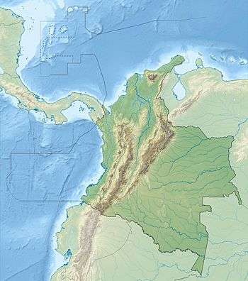
| Epicenter | 1°04′N 77°14′W / 1.07°N 77.24°W |
| Areas affected | Colombia, Ecuador[2][3] |
| Total damage | 1,896 homes damaged[2] |
| Max. intensity | V (Moderate)[1] |
| Casualties | 15 injured[2] |
The 2013 Nariño earthquake measured 6.9 on the moment magnitude scale and hit Colombia at 14:16:07 UTC on February 9. The epicenter was found to be near the town of Yacuanquer and 11 km from the city of Pasto, Nariño department in southwestern Colombia. Forty-six municipalities in 22 departments were affected in southwestern and central Colombia and the neighboring country of Ecuador.[2]
Cause
The region, along with most of Andean South America is known for its seismic activity. This particular earthquake was the result of the destructive plate boundary between the oceanic Nazca Plate and continental South American Plate.[1]
Effects
Despite the large magnitude, only 15 people have been reported to be injured with over a thousand homes damaged.[2] In a preliminary statement, Colombian President Juan Manuel Santos described the damages as "marginal".[4] The low severity is attributed to the earthquake's depth, 145 km below the surface.[1][3] Emergency services responded quickly, reporting injuries and structural damage in the departments Nariño and Cauca. Shaking could be felt as far as Colombia's capital Bogotá (545 km away) and in the neighboring nation of Ecuador.[3][4]
References
- 1 2 3 4 5 USGS. "M6.9 - 2km N of Yacuanquer, Colombia". United States Geological Survey.
- 1 2 3 4 5 "Temblor en el suroccidente dejó 1.896 viviendas afectadas y 15 heridos, según balance preliminar" [Earthquake in southwest leaves 1,896 homes damaged and 15 wounded according to preliminary assessment]. El País (in Spanish). 9 February 2013. Archived from the original on 2 July 2014. Retrieved 8 November 2014.
- 1 2 3 "Strong but deep quake in Colombia". Yahoo! News (AP). 9 February 2013. Archived from the original on 12 February 2013. Retrieved 8 November 2014.
- 1 2 "8 heridos y 153 casas dañadas por temblor en Colombia" [8 injured and 153 houses damaged by earthquake in Colombia]. La Nación (AP) (in Spanish). 9 February 2013. Archived from the original on 8 November 2014. Retrieved 8 November 2014.