Abor, Ghana
| Abor Abaw,[1] Abo[2] | |
|---|---|
| Town | |
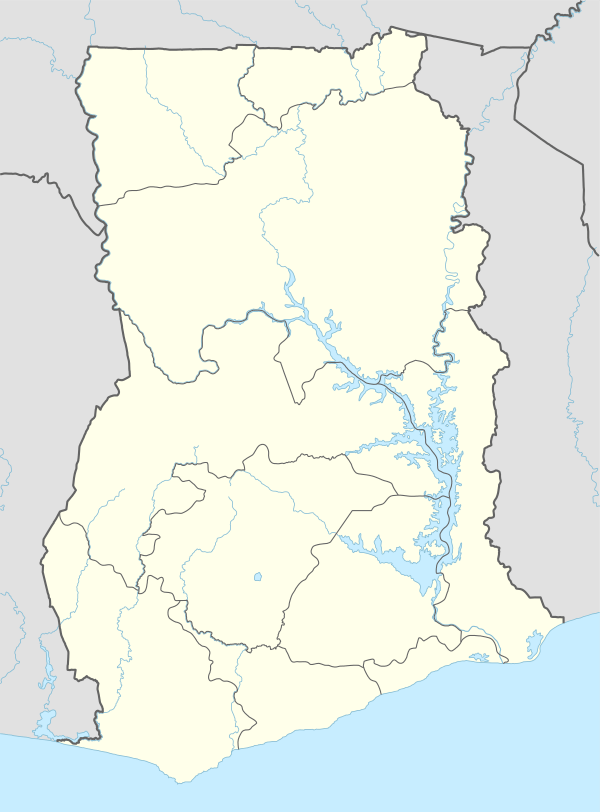 Abor Location in Ghana | |
| Coordinates: 6°03′39″N 0°51′49″E / 6.06083°N 0.86361°ECoordinates: 6°03′39″N 0°51′49″E / 6.06083°N 0.86361°E | |
| Country |
|
| Region | Volta Region |
| District | Keta Municipal District |
| Elevation | 55 m (183 ft) |
| Time zone | GMT |
| • Summer (DST) | GMT (UTC) |
Abor (Abↄ) is a Town in the Keta Municipal District of the Volta Region in southeast Ghana. Abor lies east of the Volta River and just north of the Keta Lagoon.
History
From the European perspective Abor was a part of the Dutch "area of influence" of Keta beginning about 1784, until taken over by the British and then folded into the British Gold Coast colony, which subsequently became Ghana.
Notes
External links
- "Abor Map — Satellite Images of Abor" Maplandia World Gazetteer
This article is issued from Wikipedia - version of the 2/21/2014. The text is available under the Creative Commons Attribution/Share Alike but additional terms may apply for the media files.