Aghadowey
| Aghadowey Irish: Achadh Dubhthaigh | |
|---|---|
| Irish transcription(s) | |
| • Derivation: | Achadh Dubhthaigh |
| • Meaning: | "Duffy's field" |
|
Aghadowey in 2008 | |
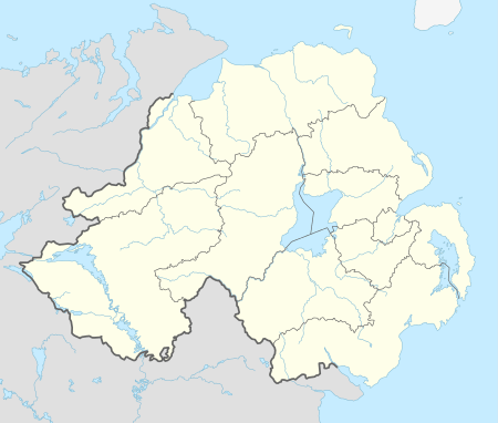 Aghadowey Aghadowey shown within Northern Ireland | |
| Coordinates: 55°01′44″N 6°39′07″W / 55.029°N 6.652°WCoordinates: 55°01′44″N 6°39′07″W / 55.029°N 6.652°W | |
| Country | Northern Ireland |
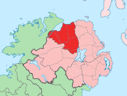
| County | Londonderry |
| Barony | Coleraine |
| Civil parish | Aghadowey |
| Settlements | Aghadowey |
| Government | |
| • Council | Causeway Coast and Glens |
| Area[1] | |
| • Total | 178.90 ha (442.07 acres) |

Aghadowey (from Irish Achadh Dubhthaigh, meaning "Duffy's field")[2][3][4] is a townland in east County Londonderry, Northern Ireland. It lies in Aghadowey civil parish, and is part of Causeway Coast and Glens district. It is close to the county boundary with County Antrim.
Sport
- Aghadowey is a popular angling area, with anglers fishing both the River Bann and the Agivey River.
- Aghadowey Stadium hosts regular motorcycle racing and stock car racing also rallying as an alltrak event, on the disused World War II airfield. Aghadowey was the home circuit (1.003 miles/1.614 km) of the Motor Cycle Road Racing Club of Ireland (MCRRCI) (now Bishopscourt Race Circuit near Downpatrick) and was first used for racing in 1975, after the club was forced to vacate their previous circuit at Maghaberry to make way for a new prison development.
- Aghadowey also boasts a football team competing in the Coleraine and District league. They have notable rivalries with both Garvagh FC and Kilrea FC and have scored victories over the latter in recent years.
Transport
- Aghadowey railway station opened on 19 February 1880, but closed on 28 August 1950.[5]
See also
| Wikimedia Commons has media related to Aghadowey. |
- List of villages in Northern Ireland
- List of towns in Northern Ireland
- Erin's abode, the current largest town-house within the largest town-land in North Derry
References
- ↑ Northern Ireland Environment Agency. "NIEA Map Viewer". Retrieved 25 July 2012.
- ↑ Placenames NI Archived March 31, 2012, at the Wayback Machine.
- ↑ Logainm - Ireland Place-names Database
- ↑ Library Ireland - Irish Place Names: Aghadowey
- ↑ "Aghadowey station" (PDF). Railscot - Irish Railways. Archived (PDF) from the original on 26 September 2007. Retrieved 2007-09-08.
This article is issued from Wikipedia - version of the 11/17/2016. The text is available under the Creative Commons Attribution/Share Alike but additional terms may apply for the media files.